


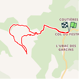

8.5 km | 15.9 km-effort

Les Hautes Alpes à découvrir ! GUIDE+


FREE GPS app for hiking
 SityTrail
IGN / Geographical institutes
SityTrail World
The world is yours!
Trail Running of 8.3 km to be discovered at Provence-Alpes-Côte d'Azur, Hautes-Alpes, Le Dévoluy. This trail is proposed by Camping Les Rives du Lac.
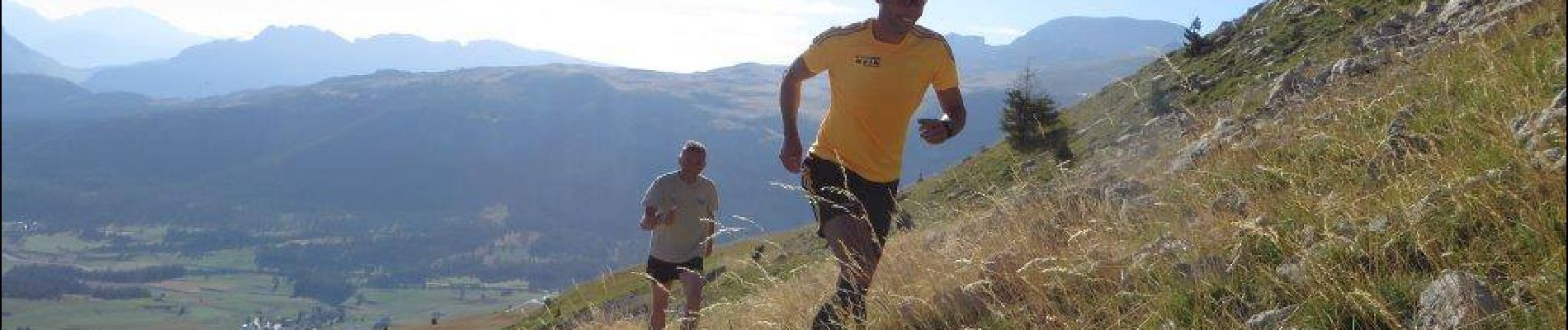
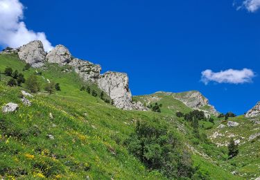
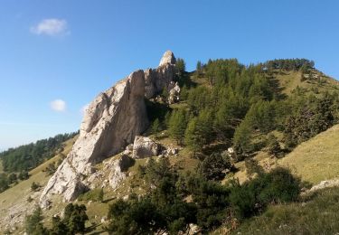
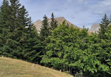
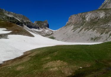
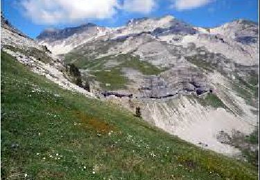
Du col du Festre, suivre le GR en direction du col des Aiguilles. Petit passage aérien avant le vallon. Une fois dans le vallon, prendre à gauche un sentier sauvage qui rejoint le Collet. Montée au Chauvet via le col de Darne puis descente en direction de la petite cabane (ne pas descendre directement sur le col du Festre depuis le sommet du Chauvet, la pente est raide et dangereuse).Trail très sauvage avec des points de vue magnifiques. Régulièrement des vautours survolent les falaises.


Walking

Walking

Walking

Walking
Walking
Walking
Walking
Walking
Walking