


![Trail Walking Unknown - [Vallée de la Mort] Panamint Dunes - Photo](https://media.geolcdn.com/t/1900/400/ext.pjpeg?maxdim=2&url=https%3A%2F%2Fstatic1.geolcdn.com%2Fsiteimages%2Fupload%2Ffiles%2F1553511878bg_sport_marche.png)
[Vallée de la Mort] Panamint Dunes

lasvergn
User

Length
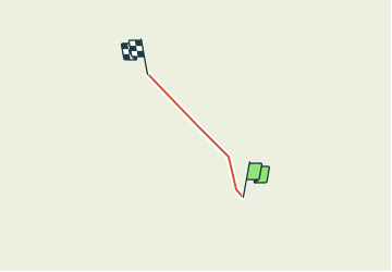
4.5 km

Max alt
642 m

Uphill gradient
159 m
Km-Effort
6.1 km

Min alt
484 m

Downhill gradient
3 m
Boucle
No
Creation date :
2018-04-17 14:50:25.971
Updated on :
2018-04-17 14:50:25.971
1h22
Difficulty : Medium

FREE GPS app for hiking
 SityTrail
IGN / Geographical institutes
SityTrail World
The world is yours!
About
Trail Walking of 4.5 km to be discovered at California, Inyo County. This trail is proposed by lasvergn.
Positioning
Country:
United States
Region :
California
Department/Province :
Inyo County
Municipality :
Unknown
Location:
Unknown
Start:(Dec)
Start:(UTM)
463065 ; 4030717 (11S) N.
Comments
Trails nearby