5.4 km | 8.8 km-effort
port d'agrés grand-vabre
yves12
User
Length
32 km
Max alt
481 m
Uphill gradient
1118 m
Km-Effort
47 km
Min alt
188 m
Downhill gradient
1117 m
Boucle
Yes
Creation date :
2017-09-07 00:00:00.0
Updated on :
2017-09-07 00:00:00.0
9h46
Difficulty : Difficult
FREE GPS app for hiking
About
Trail Walking of 32 km to be discovered at Occitania, Aveyron, Conques-en-Rouergue. This trail is proposed by yves12.
Description
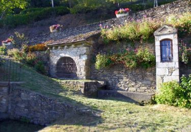
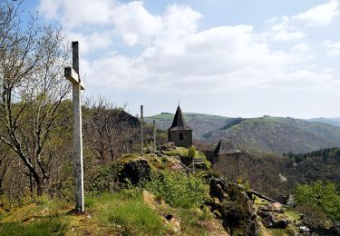
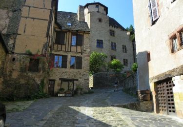
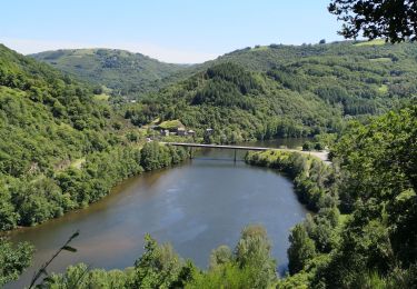
belle rando de 33km le long du lot, avec quelques panoramas
Positioning
Country:
France
Region :
Occitania
Department/Province :
Aveyron
Municipality :
Conques-en-Rouergue
Location:
Grand-Vabre
Start:(Dec)
Start:(UTM)
446809 ; 4943798 (31T) N.
Comments
Trails nearby
Les Pelies La Vinzelle : boucle rapide
Walking
Easy
(1)
Conques-en-Rouergue,
Occitania,
Aveyron,
France
3h 19min
Yes
La Vinzelle - Grand Vabre
Walking
Medium
(3)
Conques-en-Rouergue,
Occitania,
Aveyron,
France
6.7 km | 11.1 km-effort
3h 30min
Yes
Terra trail 10
On foot
Difficult
Conques-en-Rouergue,
Occitania,
Aveyron,
France
22 km | 34 km-effort
7h 41min
Yes
Conques
Walking
Very easy
Conques-en-Rouergue,
Occitania,
Aveyron,
France
10.9 km | 16.3 km-effort
3h 2min
Yes
Tieulet
On foot
Easy
(1)
Conques-en-Rouergue,
Occitania,
Aveyron,
France
6.6 km | 10.5 km-effort
2h 22min
No
Sentier de Dadon - Grand Vabre
Walking
Difficult
Conques-en-Rouergue,
Occitania,
Aveyron,
France
19.9 km | 32 km-effort
7h 0min
Yes
cassaniouze st projet
Walking
Very difficult
Cassaniouze,
Auvergne-Rhône-Alpes,
Cantal,
France
13.6 km | 22 km-effort
2h 39min
Yes
vinzelle
Walking
Very easy
Cassaniouze,
Auvergne-Rhône-Alpes,
Cantal,
France
6.2 km | 10.9 km-effort
3h 34min
Yes
cassaniouze st projet
Walking
Medium
Cassaniouze,
Auvergne-Rhône-Alpes,
Cantal,
France
15.2 km | 24 km-effort
3h 52min
Yes