


4.6 km | 5.1 km-effort

User


FREE GPS app for hiking
 SityTrail
IGN / Geographical institutes
SityTrail World
The world is yours!
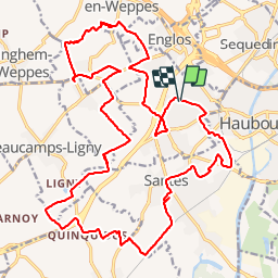
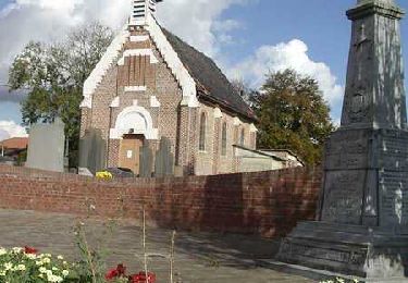
Trail Mountain bike of 26 km to be discovered at Hauts-de-France, Nord, Hallennes-lez-Haubourdin. This trail is proposed by Poutape.
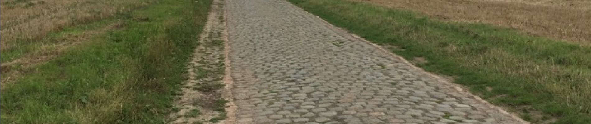
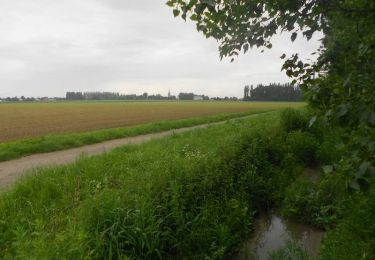
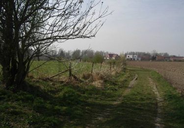
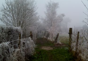
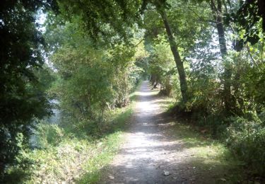
Principalement chemin agricole, pavés et sentiers


Walking
Walking
Walking
Walking
Walking
Walking
Walking
Walking
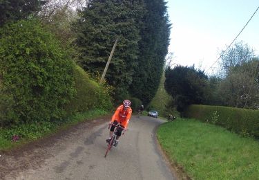
Cycle