


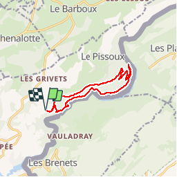


3.1 km | 4.3 km-effort

User


FREE GPS app for hiking
 SityTrail
IGN / Geographical institutes
SityTrail World
The world is yours!
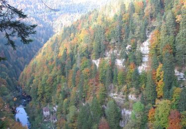
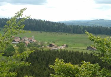
Trail Walking of 11.5 km to be discovered at Bourgogne-Franche-Comté, Doubs, Villers-le-Lac. This trail is proposed by VacheKiri67.
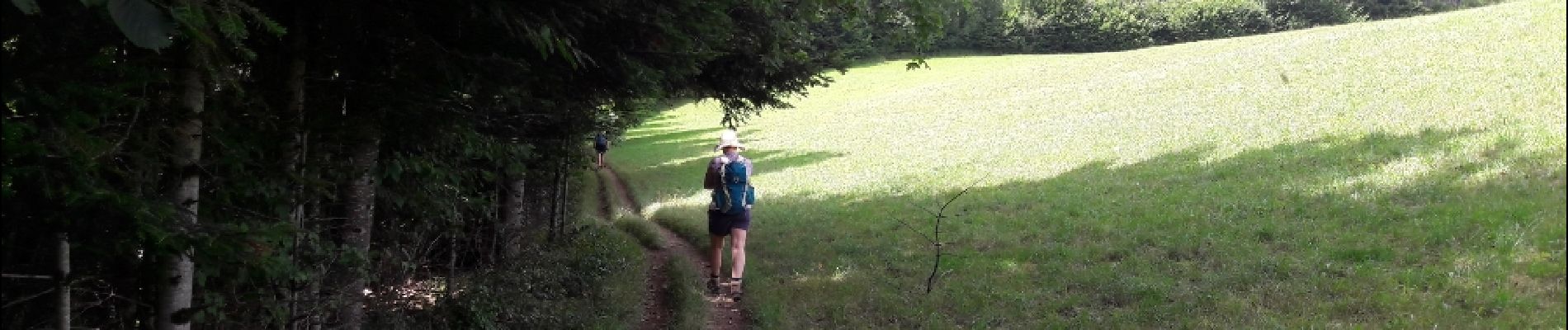
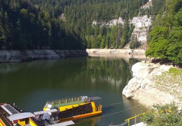
Faite le 17/07/2017 avec notre fils Théo de 12 ans. D'après https://www.visorando.com/randonnee-le-saut-du-doubs-et-le-chatelard/
Le passage au barrage n'est pas indispensable, il vaut mieux opter pour cette variante http://www.pays-horloger.com/fiche-presentation_itineraire-147-FR-Q-SAUTDUDOUBS-ETE-ACTIVITES.html. Ce qui évitera aussi de remonter par un chemin peu fréquent... gâre aux tiques.


21 photos in total. Please click on a photo to see them all in the gallery.
On foot
On foot
On foot
On foot
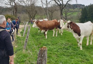
Walking
Walking
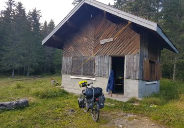
Bicycle tourism
Walking
Road bike
belle rando alternant les bords du doubs et les hauteurs
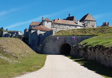
La montée du barrage au belvédère du Châtelard est assez sportive !