


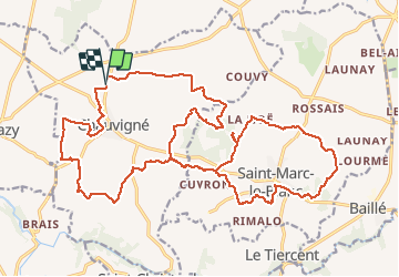


9.3 km | 10.6 km-effort


User


FREE GPS app for hiking
 SityTrail
IGN / Geographical institutes
SityTrail World
The world is yours!
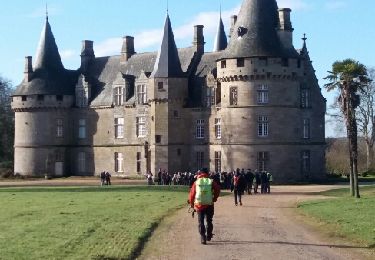
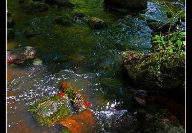
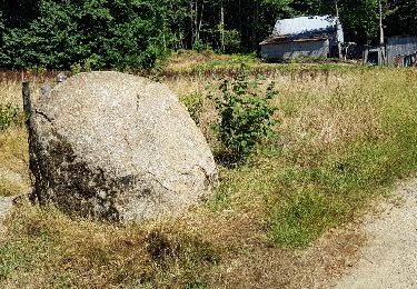
Trail Walking of 28 km to be discovered at Brittany, Ille-et-Vilaine, Chauvigné. This trail is proposed by babeth35.


On foot
On foot
On foot
On foot

Walking
Walking
Walking

Walking
Walking