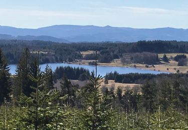
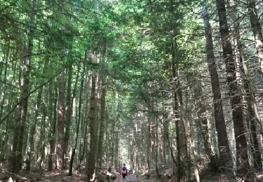
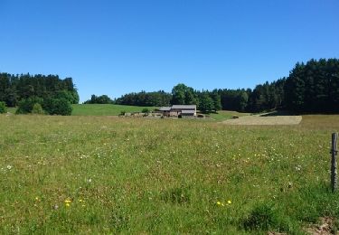
Trail Walking Le Chambon-sur-Lignon - Tence-170623 - CreuxLoup-RetourVVF - Photo

Tence-170623 - CreuxLoup-RetourVVF

 randodan
randodan

User

© OpenStreetMap contributors
Length
Length
6.3 km
Max alt
Max alt
1012 m
Uphill gradient
Uphill gradient
97 m
Km-Effort
Km-Effort  
8 km
Min alt
Min alt
866 m
Downhill gradient
Downhill gradient
210 m
Boucle
Boucle
No
Creation date :
2017-06-26 00:00:00.0
Updated on :
2017-06-26 00:00:00.0

(0 Reviews)

Walking
Walking
1h40
Difficulty : Easy

Scan this QR Code to open this trail in the SityTrail application

FREE GPS app for hiking

Logo SityTrail SityTrail

IGN / Geographical institutes

Download SityTrail from the App Store Download SityTrail from Google Play

Logo SityTrail SityTrail World

The world is yours!

Download SityTrail from the App Store Download SityTrail from Google Play Download SityTrail on Huawei AppGallery

About

Trail Walking of 6.3 km to be discovered at Auvergne-Rhône-Alpes, Haute-Loire, Le Chambon-sur-Lignon. This trail is proposed by randodan.

Description

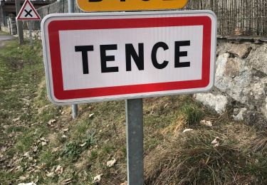
Tence, 23 juin 2017<br>
- Le Creux du Loup, de La Celle au VVF -<br>
<small>(suite de la fiche "Creux du Loup" du VVF)</small><br>
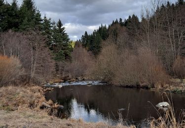
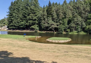
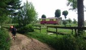
8h45, départ de La Celle, on attaque la suite du circuit abandonné avant-hier . Petite erreur au départ, on était parti vers un grand bâtiment clos (forestier ?) . Le Ruisseau de Meynier, un malheureux ru qui sera bientôt à sec . De l'autre côté du ruisseau, le chemin remonte doucement et agréablement . Passons devant le fameux "Creux du Loup", le gîte-roulotte.<br>
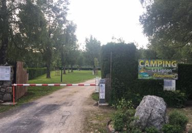
10h, Josette et Caro décident de continuer sur Tence, moi, je rentre . 10h20 au VVF.<br>
3 participants (Jo,Ca,Da).

Elevation profile

Photos

Points of interest

Point of interest Le Chambon-sur-Lignon - 01 - Le Ruisseau de Meynier - Photo
randodan
LE CHAMBON-SUR-LIGNON 
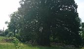
Point of interest Tence - 04 - Séquoia géant - Photo
randodan

Positioning

Country:
France
Region :
Auvergne-Rhône-Alpes
Department/Province :
Haute-Loire
Municipality :
Le Chambon-sur-Lignon
Location:
Unknown
Start:(UTM)
602669 ; 4992896 (31T) N.

Trails nearby

Trail Walking Le Chambon-sur-Lignon - Le Cholet (43) - Photo
Walking
Thomasdanielle

Walking

Difficult
Le Chambon-sur-Lignon, Auvergne-Rhône-Alpes, Haute-Loire, France
14.8 km | 19 km-effort
3h 43min
Yes
Trail Walking Tence - Tence-170621 - CreuxLoup-Beaudors - Photo
Walking
randodan

Walking

Easy
Tence, Auvergne-Rhône-Alpes, Haute-Loire, France
9.8 km | 13.6 km-effort
3h 0min
No
Trail Walking Tence - Tence-170618 - RocheDruidique-Mazeaux - Photo
Walking
randodan

Walking

Easy
Tence, Auvergne-Rhône-Alpes, Haute-Loire, France
9.2 km | 12.2 km-effort
2h 40min
No
Trail Walking Mazet-Saint-Voy - Salettes et Mazalibran - Photo
Walking
mallovon

Walking

Medium
Mazet-Saint-Voy, Auvergne-Rhône-Alpes, Haute-Loire, France
8.8 km | 11.9 km-effort
2h 30min
Yes
Trail Walking Le Chambon-sur-Lignon - variante circuit des pelerins - 7 km - Photo
Walking
famillerudent

Walking

Easy
Le Chambon-sur-Lignon, Auvergne-Rhône-Alpes, Haute-Loire, France
7.1 km | 9.4 km-effort
5h 41min
Yes
Trail Walking Tence - Tence (13 km - D. 330 m) - Photo
Walking
Thomasdanielle

Walking

Difficult
Tence, Auvergne-Rhône-Alpes, Haute-Loire, France
13.4 km | 17.8 km-effort
4h 18min
Yes
Trail Road bike Le Chambon-sur-Lignon - 07,Chambon sur lignon Annonay vélo 21 08 21 - Photo
Road bike
GUIDE
randodyssée

Road bike

Medium
Le Chambon-sur-Lignon, Auvergne-Rhône-Alpes, Haute-Loire, France
73 km | 89 km-effort
6h 17min
No
Trail Walking Tence - tence 2620 - Photo
Walking
belleney

Walking

Very easy
Tence, Auvergne-Rhône-Alpes, Haute-Loire, France
13 km | 16.6 km-effort
4h 2min
No
Trail Walking Le Chambon-sur-Lignon - Le Chambon-sur-Lignon  - Photo
Walking
maelow

Walking

Very easy
Le Chambon-sur-Lignon, Auvergne-Rhône-Alpes, Haute-Loire, France
12.7 km | 16.9 km-effort
1h 24min
Yes


Close
My subscriptions