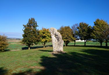
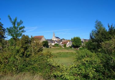
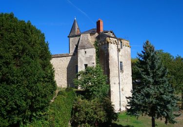
Trail Other activity Draché - 2011-08-09 16h04m47 - Photo
© OpenStreetMap contributors
Length
Length
554 km
Max alt
Max alt
3272 m
Uphill gradient
Uphill gradient
32187 m
Km-Effort
Km-Effort  
980 km
Min alt
Min alt
54 m
Downhill gradient
Downhill gradient
31092 m
Boucle
Boucle
No
Creation date :
2014-12-10 00:00:00.0
Updated on :
2014-12-10 00:00:00.0

(0 Reviews)

Other activity
Other activity
--
Difficulty : Unknown

Scan this QR Code to open this trail in the SityTrail application

FREE GPS app for hiking

Logo SityTrail SityTrail

IGN / Geographical institutes

Download SityTrail from the App Store Download SityTrail from Google Play

Logo SityTrail SityTrail World

The world is yours!

Download SityTrail from the App Store Download SityTrail from Google Play Download SityTrail on Huawei AppGallery

About

Trail Other activity of 554 km to be discovered at Centre-Loire Valley, Indre-et-Loire, Draché. This trail is proposed by breizh_37.

Elevation profile

Positioning

Country:
France
Region :
Centre-Loire Valley
Department/Province :
Indre-et-Loire
Municipality :
Draché
Location:
Unknown
Start:(UTM)
321698 ; 5218529 (31T) N.

Trails nearby

Trail Walking Draché - Draché - GR655 Sainte-Maure-de-Touraine Marcé-sur-Esves - 26.4km 260m 6h00 (30mn) - 2022 10 08 - Photo
Walking
Orcal37

Walking

Medium
Draché, Centre-Loire Valley, Indre-et-Loire, France
26 km | 30 km-effort
6h 0min
Yes
Trail Walking Sainte-Maure-de-Touraine - Sainte-Maure-de-Touraine - GR655 Sainte-Catherine-de-Fierbois - 23.7km 225m 5h10 (25mn) - 2022 09 11 - Photo
Walking
Orcal37

Walking

Easy
Sainte-Maure-de-Touraine, Centre-Loire Valley, Indre-et-Loire, France
24 km | 27 km-effort
5h 10min
Yes
Trail Walking Draché - draché - Photo
Walking
dporcher

Walking

Very easy
Draché, Centre-Loire Valley, Indre-et-Loire, France
11.2 km | 12.8 km-effort
2h 23min
Yes
Trail Walking Sainte-Maure-de-Touraine - JFT YB ETAPE3 29-4-2014  - Photo
Walking
jeff2

Walking

Easy
Sainte-Maure-de-Touraine, Centre-Loire Valley, Indre-et-Loire, France
29 km | 31 km-effort
6h 15min
No
Trail Walking Sainte-Maure-de-Touraine - Sainte-Maure-de-Touraine - Fontaine St-Martin - 15.8km 160m 3h00 - 2006 05 08 - Photo
Walking
Orcal37

Walking

Medium
Sainte-Maure-de-Touraine, Centre-Loire Valley, Indre-et-Loire, France
16.1 km | 18.3 km-effort
3h 20min
Yes
Trail Mountain bike Sainte-Maure-de-Touraine - De Sainte Maure à Saint Epain - Photo
Mountain bike
tracegps

Mountain bike

Medium
Sainte-Maure-de-Touraine, Centre-Loire Valley, Indre-et-Loire, France
24 km | 27 km-effort
1h 30min
Yes
Trail Walking Sainte-Maure-de-Touraine - 016 Sainte Maure Ormes - Photo
Walking
lucille

Walking

Very easy
Sainte-Maure-de-Touraine, Centre-Loire Valley, Indre-et-Loire, France
19.5 km | 21 km-effort
4h 43min
No
Trail Walking Sepmes - Roundtrip Sepmes - Photo
Walking
Gibottiere

Walking

Very easy
Sepmes, Centre-Loire Valley, Indre-et-Loire, France
7.5 km | 8.5 km-effort
Unknown
Yes
Trail Electric bike Sainte-Maure-de-Touraine - Activity - Photo
Electric bike
KathLala

Electric bike

Very easy
Sainte-Maure-de-Touraine, Centre-Loire Valley, Indre-et-Loire, France
41 km | 45 km-effort
Unknown
No


Close
My subscriptions