


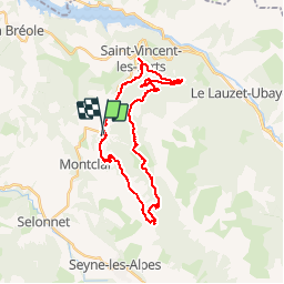

15.6 km | 23 km-effort


User


FREE GPS app for hiking
 SityTrail
IGN / Geographical institutes
SityTrail World
The world is yours!
Trail Mountain bike of 34 km to be discovered at Provence-Alpes-Côte d'Azur, Alpes-de-Haute-Provence, Montclar. This trail is proposed by gilder89.
Walking
Walking

Walking
Walking
Walking

Walking
Walking
Walking
Walking
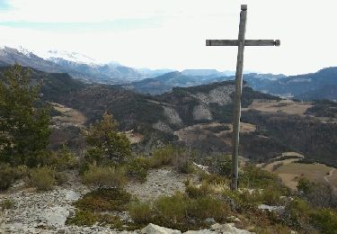
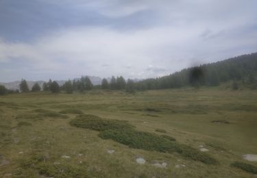
des point de vue extraordinaire mais des pistes larges et roulantes qui evitent soigneusement les belles pistes single de la station pour la descente.je conseille + au grimpeur qu'au descendeur