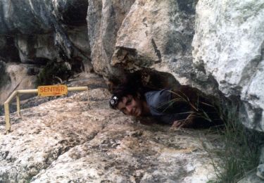
Trail Other activity Saint-Martin-d'Ardèche - La Draille de Madame (7km) - Photo
© OpenStreetMap contributors
Length
Length
6.4 km
Max alt
Max alt
201 m
Uphill gradient
Uphill gradient
177 m
Km-Effort
Km-Effort  
8.8 km
Min alt
Min alt
43 m
Downhill gradient
Downhill gradient
179 m
Boucle
Boucle
Yes
Creation date :
2019-05-01 15:04:17.163
Updated on :
2019-05-01 15:04:17.214

(0 Reviews)

Other activity
Other activity
--
Difficulty : Unknown

Scan this QR Code to open this trail in the SityTrail application

FREE GPS app for hiking

Logo SityTrail SityTrail

IGN / Geographical institutes

Download SityTrail from the App Store Download SityTrail from Google Play

Logo SityTrail SityTrail World

The world is yours!

Download SityTrail from the App Store Download SityTrail from Google Play Download SityTrail on Huawei AppGallery

About

Trail Other activity of 6.4 km to be discovered at Auvergne-Rhône-Alpes, Ardèche, Saint-Martin-d'Ardèche. This trail is proposed by lgmalherbe.

Description

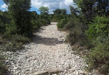
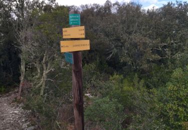
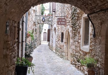
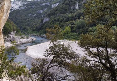
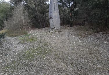
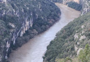
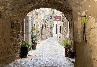
Départ devant l’Office de Tourisme, place de l’église.Traversez la place et tournez à gauche. Prendre la rue du Valla (à droite du Savan’Café)- Suivez les indications PR qui vous amèneront derrière le camping du village. Passez sous le pont et prenez la route qui monte, puis tournez à droite. Suivez le sentier qui monte la colline.Prenez à droite sur la route goudronnée que vous retrouvez au bout de ce sentier. Celle-ci se termine par un court passage bétonné.- 10 m plus loin, prenez à gauche et suivez les indications PR.- Restez sur ce chemin de terre jusqu’au poteau sans lame, puis prenez sur votre gauche selon le balisage.Poteau Ranc des Banastes. Vous pouvez visiter le dolmen en suivant la direction : « Dolmen du Ranc des Banastes  1 km puis revenez  et suivez la direction « Plaine des Feuillets 0,3 km Sauze 2,2 km »Continuez en suivant les indications PR jusqu’au poteau « Plaine des Feuillets » et suivez : « Sauze 1,9 km »-Restez sur ce chemin principal et redescendez vers Sauze.- Quelques dizaines de mètres après l’antenne verte, prenez le chemin qui descend sur la gauche ; le spectacle des Gorges commence.- La descente devient un peu pentue et caillouteuse. Restez sur ce chemin jusqu’à ce qu’il devienne une route goudronnée.- Vous arrivez au croisement avec la D 290, allez tout droit en suivant les indications PR. Continuez. Puis prenez à gauche en direction de Sauze.- Vous rejoignez les gorges, vous avez la possibilité de vous rafraîchir dans les eaux de l’Ardèche. Descendez le long de la rivière depuis Sauze jusqu'à St-Martin.- Vous arrivez vers St Martin, empruntez la route goudronnée qui rejoint les quais pour revenir à l’Office de Tourisme.

Elevation profile

Points of interest

Point of interest Saint-Martin-d'Ardèche - Départ de l'Office de Tourisme - Photo
lgmalherbe
SAINT-MARTIN-D'ARDÈCHE 

Positioning

Country:
France
Region :
Auvergne-Rhône-Alpes
Department/Province :
Ardèche
Municipality :
Saint-Martin-d'Ardèche
Location:
Unknown
Start:(UTM)
624889 ; 4906596 (31T) N.

Trails nearby

Trail Walking Saint-Martin-d'Ardèche - GR4 Aigueze - Photo
Walking
cmike39

Walking

Medium
(1)
Saint-Martin-d'Ardèche, Auvergne-Rhône-Alpes, Ardèche, France
12.6 km | 17 km-effort
4h 39min
Yes
Trail Walking Aiguèze - 30 aigueze ribeirol - Photo
Walking
GUIDE
randodyssée

Walking

Difficult
Aiguèze, Occitania, Gard, France
10.7 km | 16.4 km-effort
6h 26min
Yes
Trail Walking Saint-Martin-d'Ardèche - Aigueze rocher de Castelviel - Photo
Walking
GUIDE
nadinebondoux

Walking

Easy
Saint-Martin-d'Ardèche, Auvergne-Rhône-Alpes, Ardèche, France
12.5 km | 16.8 km-effort
4h 11min
Yes
Trail Walking Saint-Martin-d'Ardèche - Sauze bivouac de Gournier  - Photo
Walking
GUIDE
nadd73

Walking

Medium
Saint-Martin-d'Ardèche, Auvergne-Rhône-Alpes, Ardèche, France
14.9 km | 25 km-effort
4h 3min
No
Trail Walking Saint-Martin-d'Ardèche - 07 st martin d ardeche gorge ardeche - Photo
Walking
GUIDE
randodyssée

Walking

Medium
Saint-Martin-d'Ardèche, Auvergne-Rhône-Alpes, Ardèche, France
17.2 km | 25 km-effort
6h 36min
Yes
Trail Walking Aiguèze - Aigueze - Photo
Walking
cousam

Walking

Difficult
Aiguèze, Occitania, Gard, France
9.4 km | 14.9 km-effort
6h 26min
No
Trail Walking Saint-Martin-d'Ardèche - Saint Martin d’Ardéche - Photo
Walking
GUIDE
Roger Philippe Wallez

Walking

Difficult
Saint-Martin-d'Ardèche, Auvergne-Rhône-Alpes, Ardèche, France
12.6 km | 16.8 km-effort
5h 3min
No
Trail Walking Saint-Marcel-d'Ardèche - rando octobre rose - Photo
Walking
Lucien84

Walking

Very easy
Saint-Marcel-d'Ardèche, Auvergne-Rhône-Alpes, Ardèche, France
11.6 km | 13.8 km-effort
3h 16min
Yes
Trail On foot Aiguèze - FR-PR 24 - Photo
On foot
GUIDE+

On foot

Easy
Aiguèze, Occitania, Gard, France
6.9 km | 10 km-effort
2h 15min
No


Close
My subscriptions