


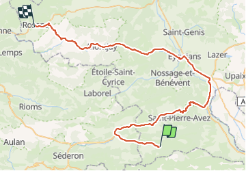

13.3 km | 23 km-effort


User


FREE GPS app for hiking
 SityTrail
IGN / Geographical institutes
SityTrail World
The world is yours!
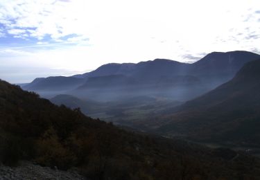
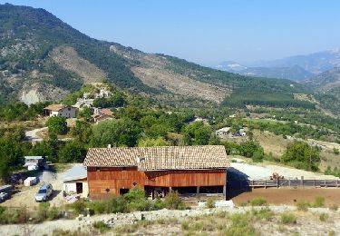
Trail Other activity of 69 km to be discovered at Provence-Alpes-Côte d'Azur, Hautes-Alpes, Éourres. This trail is proposed by Moonslepaysans.
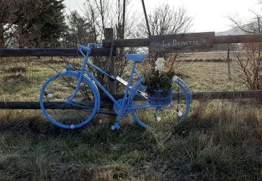
jour 5 le 7/7/2016
départ 11hr00 arrivée 18hr15
Walking

Walking
Walking
Walking

Walking
Walking

Running
Walking
Walking