


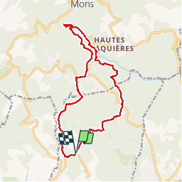


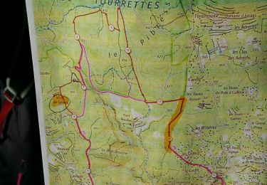
13.7 km | 18.3 km-effort

User


FREE GPS app for hiking
 SityTrail
IGN / Geographical institutes
SityTrail World
The world is yours!
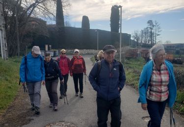
Trail Walking of 18.3 km to be discovered at Provence-Alpes-Côte d'Azur, Var, Tourrettes. This trail is proposed by Sugg.
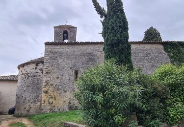
Rand Sources de la Siagnole de Mons.
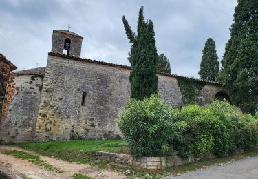
Belle rando ( Pierre ) avec une partie du parcours sur le canal Romain.
http://traianvs.net/textos/frejus_fr.htm


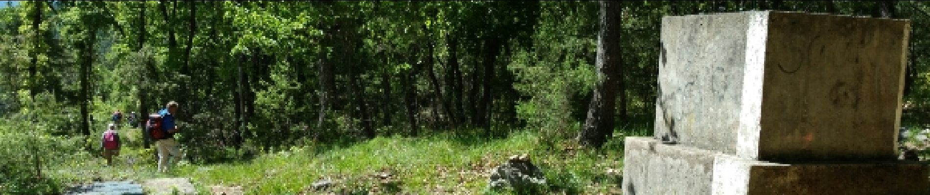
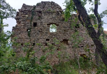
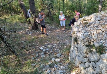
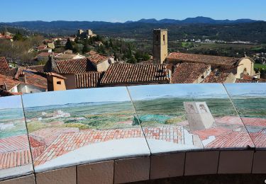
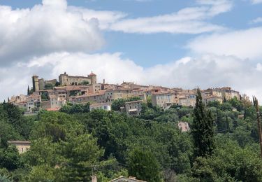
24 photos in total. Please click on a photo to see them all in the gallery.
Walking
Walking
Walking
Walking
Walking
Walking
Walking
Walking
Walking
Impossible faire cette rando sans enfreindre l'interdit de suivre le canal de la Siagnole. Dommage