


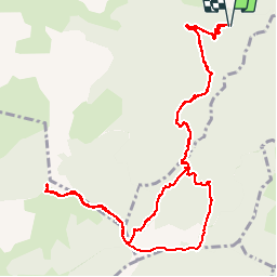

22 km | 34 km-effort


User


FREE GPS app for hiking
 SityTrail
IGN / Geographical institutes
SityTrail World
The world is yours!
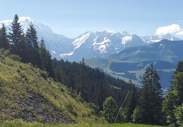
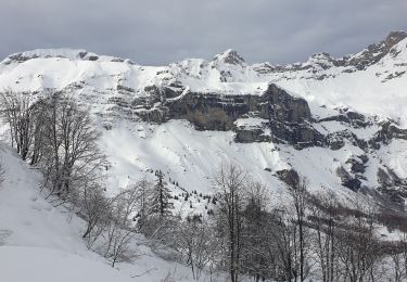
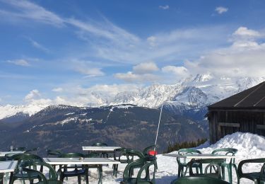
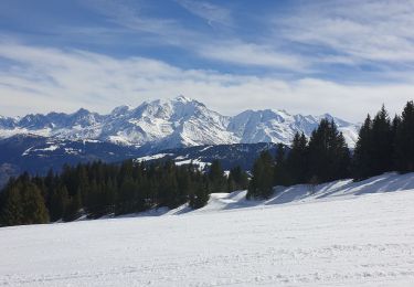
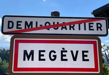
Trail Walking of 14.4 km to be discovered at Auvergne-Rhône-Alpes, Upper Savoy, Cordon. This trail is proposed by Brusa.
Depuis Cordon avec retour par la piste de Combloux

Mountain bike

Walking

Walking

Other activity
Walking
Snowshoes
Snowshoes
Touring skiing
Walking