


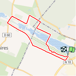


10.2 km | 11.3 km-effort

User


FREE GPS app for hiking
 SityTrail
IGN / Geographical institutes
SityTrail World
The world is yours!
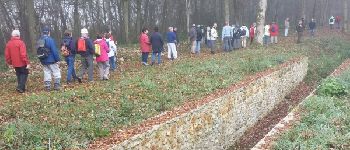
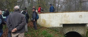
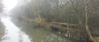
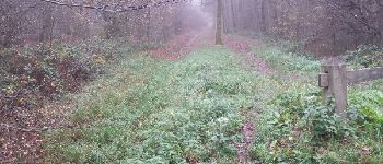
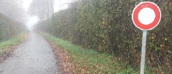
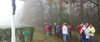
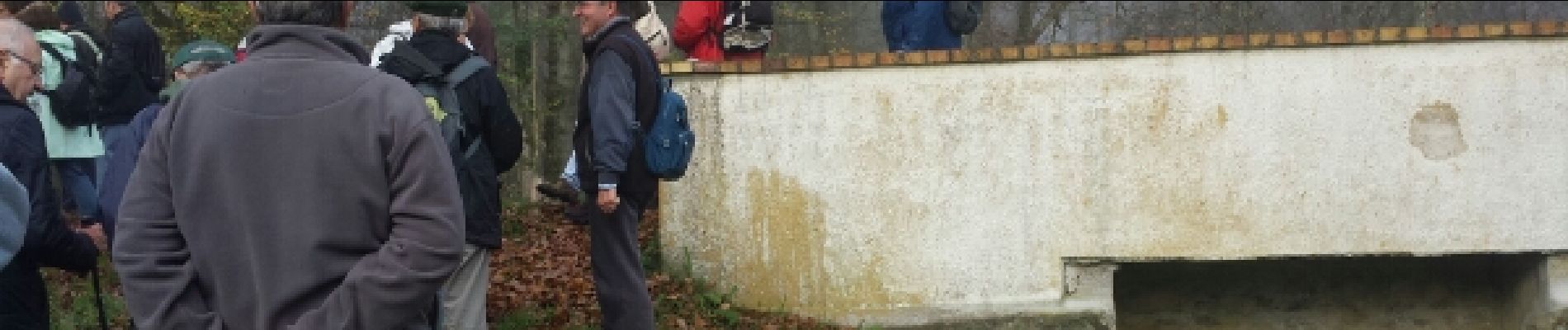
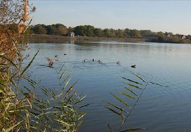
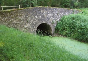
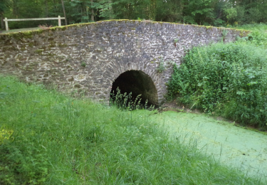
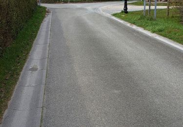
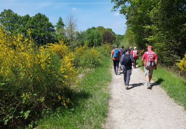
Trail Walking of 8.1 km to be discovered at Ile-de-France, Yvelines, Le Perray-en-Yvelines. This trail is proposed by microb.
Les Etangs de Hollande ( St Hubert Pourras et Corbet )


Walking
Walking

Walking
Walking
Walking

Walking

Walking
Walking