


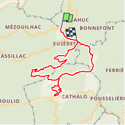


17.4 km | 27 km-effort

User


FREE GPS app for hiking
 SityTrail
IGN / Geographical institutes
SityTrail World
The world is yours!
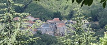
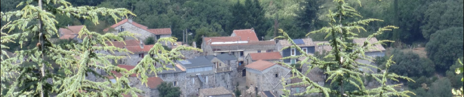
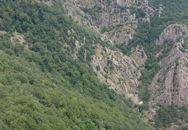
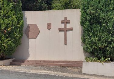
Trail Walking of 17.4 km to be discovered at Occitania, Hérault, Saint-Étienne-d'Albagnan. This trail is proposed by gerardhenr.
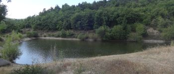
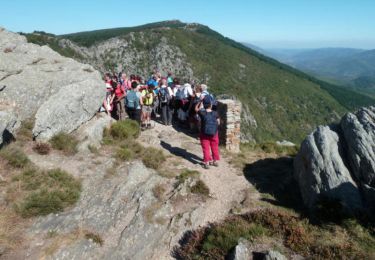
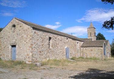
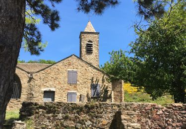
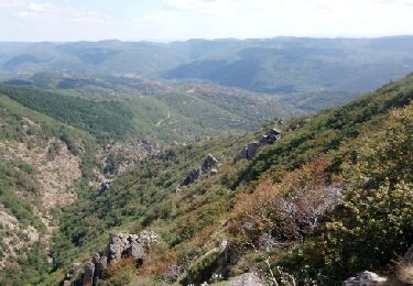
GR 77. Promenade sur les crêtes et descente au plan d'eau de Rodomoul.
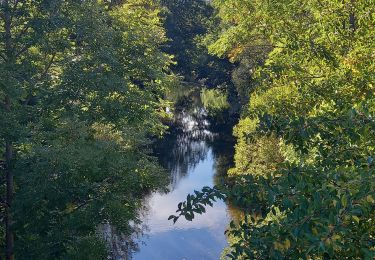
Retour par la route forestière des Escampats et du petit plan d'eau.


Walking
Walking
Walking
Nordic walking
Walking
On foot
Walking
Walking

Walking