


7.8 km | 9.3 km-effort


User


FREE GPS app for hiking
 SityTrail
IGN / Geographical institutes
SityTrail World
The world is yours!
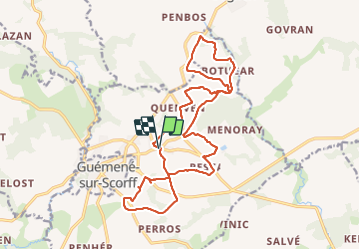
Trail Walking of 19.1 km to be discovered at Brittany, Morbihan, Locmalo. This trail is proposed by patrickdanilo.
Type: Circuit-56-Morbihan
Départ: Place de L'Eglise


On foot
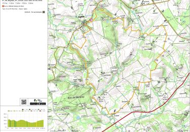
Walking
