


13.1 km | 26 km-effort

User GUIDE


FREE GPS app for hiking
 SityTrail
IGN / Geographical institutes
SityTrail World
The world is yours!
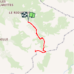
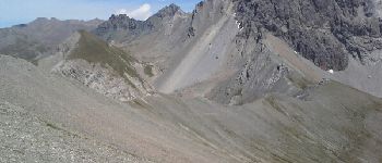
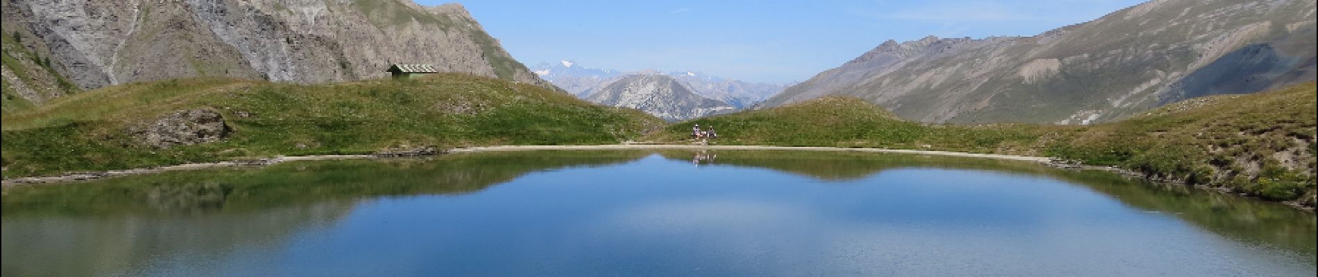
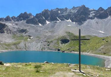
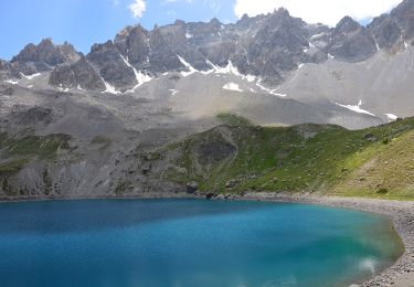
Trail Walking of 13 km to be discovered at Provence-Alpes-Côte d'Azur, Hautes-Alpes, Ceillac. This trail is proposed by amiral13.
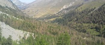
une belle randonnée effectuée en famille jusqu'au col de Clausis (fillette de 7 ans).
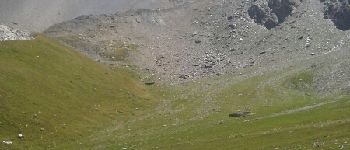
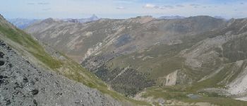
à partir du col le sentier se transforme en sente ou avoir le pieds montagnard peu facilité la progression


Walking

Walking
Walking
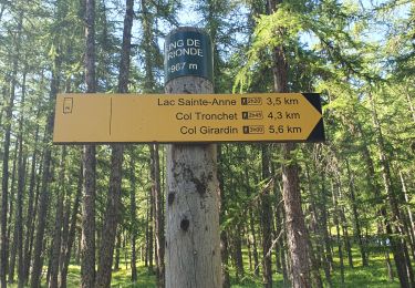
Walking
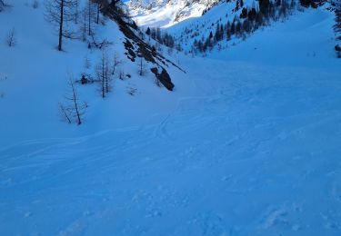
Touring skiing

Touring skiing

Touring skiing
Walking
Walking