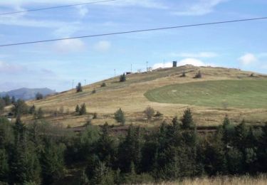
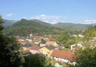
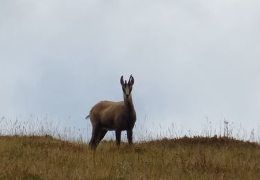
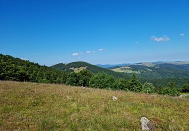
14 km | 19.8 km-effort
grand ballon
lacote
User
Length
10.8 km
Max alt
1420 m
Uphill gradient
510 m
Km-Effort
17.6 km
Min alt
972 m
Downhill gradient
515 m
Boucle
Yes
Creation date :
2024-08-24 06:55:24.286
Updated on :
2024-08-24 10:39:51.993
3h43
Difficulty : Difficult
FREE GPS app for hiking
About
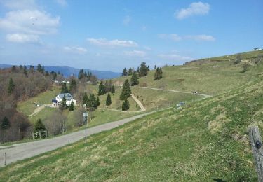
Trail Walking of 10.8 km to be discovered at Grand Est, Haut-Rhin, Geishouse. This trail is proposed by lacote.
Positioning
Country:
France
Region :
Grand Est
Department/Province :
Haut-Rhin
Municipality :
Geishouse
Location:
Unknown
Start:(Dec)
Start:(UTM)
357296 ; 5307502 (32T) N.
Comments
Trails nearby
Le Markstein
Walking
Difficult
(1)
Lautenbachzell,
Grand Est,
Haut-Rhin,
France
22 km | 35 km-effort
6h 0min
Yes
Firstacker - Willer sur Thur
On foot
Easy
Goldbach-Altenbach,
Grand Est,
Haut-Rhin,
France
7.4 km | 9.6 km-effort
2h 11min
No
Parking Bellevue - Hundsrucken - Markstein
On foot
Medium
(1)
Lautenbachzell,
Grand Est,
Haut-Rhin,
France
9.4 km | 13 km-effort
Unknown
Yes
Breitfirst - Petit Ballon - Col de Firstplan - Wintzenheim
Mountain bike
Medium
(1)
Metzeral,
Grand Est,
Haut-Rhin,
France
38 km | 52 km-effort
3h 11min
No
Mon tour des Vosges (4 jours)
Walking
Very difficult
Soultz-Haut-Rhin,
Grand Est,
Haut-Rhin,
France
71 km | 113 km-effort
25h 38min
Yes
La " Jean Marc du jour 24/06_2023
Walking
Very difficult
Murbach,
Grand Est,
Haut-Rhin,
France
14.7 km | 28 km-effort
4h 3min
Yes
dimanche
Walking
Very difficult
(1)
Saint-Amarin,
Grand Est,
Haut-Rhin,
France
19.4 km | 35 km-effort
7h 51min
Yes
Moosch Haag
Walking
Difficult
(1)
Moosch,
Grand Est,
Haut-Rhin,
France
21 km | 0 m-effort
5h 27min
Yes