11.5 km | 14 km-effort
cappel
Patrick Schneider
User
Length
4.9 km
Max alt
288 m
Uphill gradient
55 m
Km-Effort
5.6 km
Min alt
263 m
Downhill gradient
55 m
Boucle
Yes
Creation date :
2024-08-03 06:32:43.654
Updated on :
2024-08-03 10:13:23.375
3h40
Difficulty : Easy
FREE GPS app for hiking
About
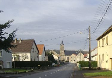
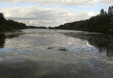
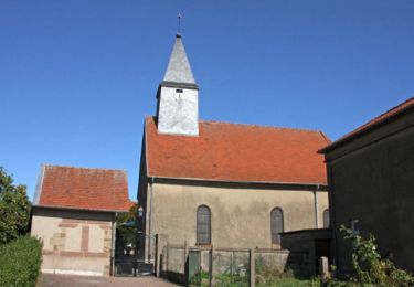
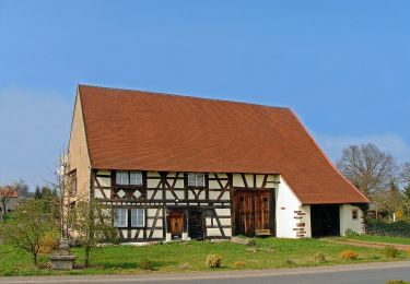
Trail Walking of 4.9 km to be discovered at Grand Est, Moselle, Farschviller. This trail is proposed by Patrick Schneider.
Description
champis mais zero
Positioning
Country:
France
Region :
Grand Est
Department/Province :
Moselle
Municipality :
Farschviller
Location:
Unknown
Start:(Dec)
Start:(UTM)
343110 ; 5438806 (32U) N.
Comments
Trails nearby
Circuit de la ligne Maginot Aquatique
On foot
Easy
Hoste,
Grand Est,
Moselle,
France
4.7 km | 5.6 km-effort
1h 16min
No
lac diefenbach
Walking
Easy
Saint-Jean-Rohrbach,
Grand Est,
Moselle,
France
4.4 km | 5.5 km-effort
1h 14min
Yes
Boucle au départ de Barst
Walking
Medium
Barst,
Grand Est,
Moselle,
France
14.5 km | 17.1 km-effort
3h 0min
Yes
Circuit de la Nied Allemande
On foot
Easy
Guenviller,
Grand Est,
Moselle,
France
9.7 km | 11.4 km-effort
2h 34min
No
Randonnée de Hoste à Barst
Walking
Medium
Hoste,
Grand Est,
Moselle,
France
13.7 km | 16.1 km-effort
3h 0min
Yes
Randonnée au Pays des Lacs - Puttelange aux Lacs
Mountain bike
Difficult
(1)
Puttelange-aux-Lacs,
Grand Est,
Moselle,
France
56 km | 69 km-effort
4h 0min
Yes