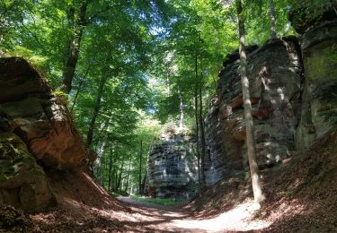
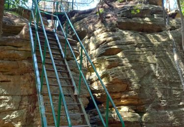
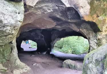
Trail  Echternach - Route 2/Étape 2 : Echternach - Mullerthal - Photo

Route 2/Étape 2 : Echternach - Mullerthal

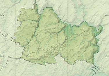
© OpenStreetMap contributors
Length
Length
14.1 km
Max alt
Max alt
378 m
Uphill gradient
Uphill gradient
377 m
Km-Effort
Km-Effort  
19 km
Min alt
Min alt
224 m
Downhill gradient
Downhill gradient
313 m
Boucle
Boucle
No
Creation date :
2024-05-16 14:00:56.939
Updated on :
2024-05-16 14:05:18.801

(0 Reviews)


Scan this QR Code to open this trail in the SityTrail application

FREE GPS app for hiking

Logo SityTrail SityTrail

IGN / Geographical institutes

Download SityTrail from the App Store Download SityTrail from Google Play

Logo SityTrail SityTrail World

The world is yours!

Download SityTrail from the App Store Download SityTrail from Google Play Download SityTrail on Huawei AppGallery

About

Trail of 14.1 km to be discovered at Unknown, Canton Echternach, Echternach. This trail is proposed by Thomas Tegas.

Elevation profile

Points of interest

Point of interest Waldbillig - Heringer Millen - Photo
Thomas Tegas
WALDBILLIG 
Point of interest Berdorf - À la fourche à droite - Photo
Thomas Tegas
Point of interest Berdorf - À la fourche à gauche - Photo
Thomas Tegas
Point of interest Berdorf - Poteau directionnel à droite  - Photo
Thomas Tegas
Point of interest Berdorf - Sentier à mi-pente à gauche - Photo
Thomas Tegas
Point of interest Berdorf - Carrefour encaissé à droite - Photo
Thomas Tegas
Point of interest Berdorf - À la fourche à droite  - Photo
Thomas Tegas
Point of interest Berdorf - Croisement au poteau directionnel - Photo
Thomas Tegas
Point of interest Berdorf - Aller-retour vers la faille de Pérekop - Photo
Thomas Tegas
Point of interest Echternach - Passez le pont - Photo
Thomas Tegas
ECHTERNACH 
Point of interest Echternach - Intersection des points de vues - Photo
Thomas Tegas
Point of interest Echternach - Sentier à droite - Photo
Thomas Tegas
ECHTERNACH 
Point of interest Echternach - Chemin herbeux à droite de la rue - Photo
Thomas Tegas
Point of interest Echternach - Place du Marché - Photo
Thomas Tegas
ECHTERNACH 

Positioning

Country:
Luxembourg
Region :
Unknown
Department/Province :
Canton Echternach
Municipality :
Echternach
Location:
Unknown
Start:(UTM)
313767 ; 5521217 (32U) N.

Trails nearby

Trail Walking Berdorf - Berdorf - B2 - Müllerthal - Photo
Walking
GUIDE
mumu.larandonneuse

Walking

Medium
(1)
Berdorf, Unknown, Canton Echternach, Luxembourg
6.7 km | 8.5 km-effort
1h 35min
Yes
Trail Walking Berdorf - 2023-06-03_18h17m36_Sentier_local_-_B8 - Photo
Walking
GUIDE
mumu.larandonneuse

Walking

Medium
(1)
Berdorf, Unknown, Canton Echternach, Luxembourg
11.7 km | 15 km-effort
3h 24min
Yes
Trail Walking Berdorf - MÜLLERTHAL (Bollendorf-Pont) - Photo
Walking
GerardBouche

Walking

Easy
(1)
Berdorf, Unknown, Canton Echternach, Luxembourg
10.5 km | 14.3 km-effort
3h 10min
Yes
Trail Walking Ernzen - DeLux Wanderpark Felsenweg1, Weilerbach-Houllay - Photo
Walking
GUIDE+

Walking

Very easy
(1)
Ernzen, Rhineland-Palatinate, Eifelkreis Bitburg-Prüm, Germany
20 km | 28 km-effort
5h 51min
Yes
Trail Walking Echternach - Muller 2 - Photo
Walking
GUIDE
Peter.vdbergh

Walking

Difficult
Echternach, Unknown, Canton Echternach, Luxembourg
27 km | 36 km-effort
8h 24min
No
Trail On foot Echternacherbrück - Felsenweg 1 - Photo
On foot
PRO

On foot

Medium
Echternacherbrück, Rhineland-Palatinate, Eifelkreis Bitburg-Prüm, Germany
14 km | 20 km-effort
4h 33min
No
Trail On foot Consdorf - C4 Hiking Tour - Photo
On foot
PRO

On foot

Easy
Consdorf, Unknown, Canton Echternach, Luxembourg
3.5 km | 4.3 km-effort
58min
No
Trail On foot Echternach - Autopédestre Echternach 1 - Photo
On foot
PRO

On foot

Easy
Echternach, Unknown, Canton Echternach, Luxembourg
11 km | 16.1 km-effort
3h 39min
Yes
Trail Walking Echternach - Itinérant Luxembourg Jour 4 Echternach-Beaufort - Photo
Walking
chessyca

Walking

Very difficult
Echternach, Unknown, Canton Echternach, Luxembourg
25 km | 34 km-effort
6h 39min
No


Close
My subscriptions