


4.1 km | 5.9 km-effort

User GUIDE


FREE GPS app for hiking
 SityTrail
IGN / Geographical institutes
SityTrail World
The world is yours!
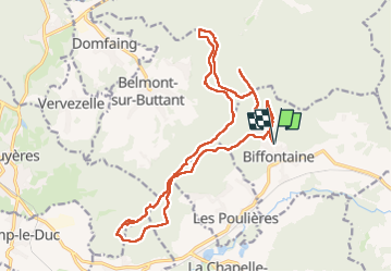
Trail Walking of 21 km to be discovered at Grand Est, Vosges, Biffontaine. This trail is proposed by holtzv.
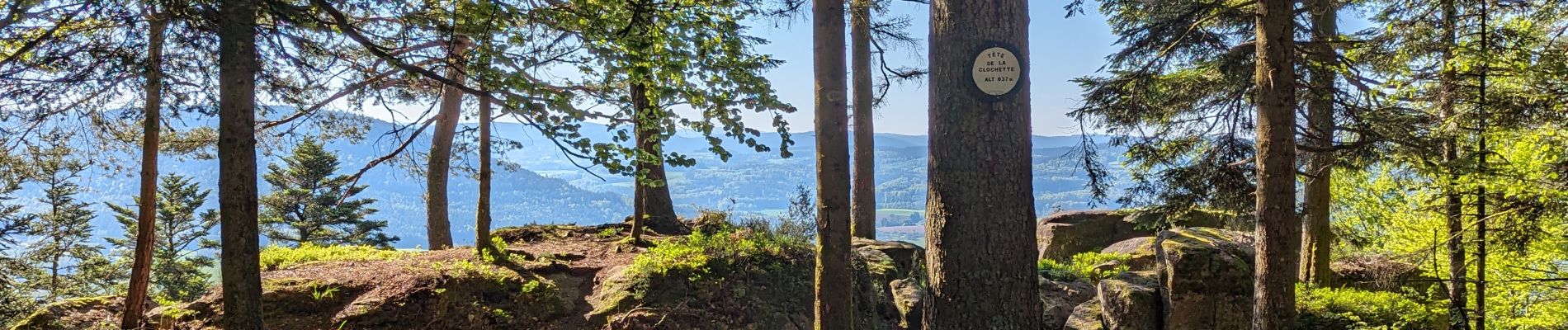
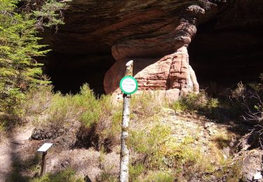
Marche à la journée en boucle au départ du cimetière de Biffontaine en passant par la route forestière des Plateaux, la fontaine du seuil, le col de l’Arnelle, sous le rocher de l’Ermitage, le rocher de Borémont, la tête de la Clochette, la roche des Poires sèches et la croix Thomas, la croix de Machiefour, la roche du Pain de Poire et la roche du Grand Tétras


Mountain bike
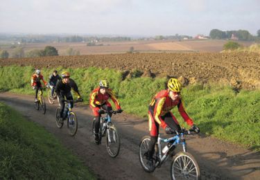
Mountain bike

Horseback riding
Mountain bike
Horseback riding

Walking
Horseback riding

Hybrid bike