Trail Walking Unknown - MYRDAL  - Photo
 dudu42
dudu42

User

© OpenStreetMap contributors
Length
Length
9.3 km
Max alt
Max alt
1194 m
Uphill gradient
Uphill gradient
393 m
Km-Effort
Km-Effort  
14.5 km
Min alt
Min alt
845 m
Downhill gradient
Downhill gradient
380 m
Boucle
Boucle
Yes
Creation date :
2024-04-27 07:22:40.766
Updated on :
2024-04-27 11:05:36.279

(0 Reviews)

Walking
Walking
2h51
Difficulty : Difficult

Scan this QR Code to open this trail in the SityTrail application

FREE GPS app for hiking

Logo SityTrail SityTrail

IGN / Geographical institutes

Download SityTrail from the App Store Download SityTrail from Google Play

Logo SityTrail SityTrail World

The world is yours!

Download SityTrail from the App Store Download SityTrail from Google Play Download SityTrail on Huawei AppGallery

About

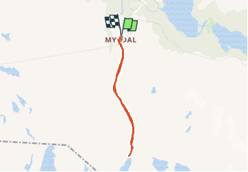
Trail Walking of 9.3 km to be discovered at Vestland. This trail is proposed by dudu42.

Description

Départ de la randonnée a droite au fond du quai.
Attention au passage sous la voie ferrée, plaque de glace très très glissante.
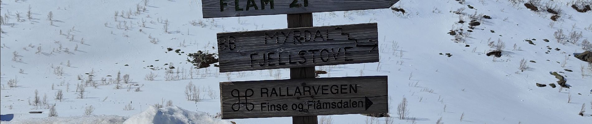
Beaux panoramas tout au long du parcours.
Prévoir équipement pour la neige (fin avril)
Très peu de monde ce jour là !!!

Elevation profile

Photos

24 photos in total. Please click on a photo to see them all in the gallery.

Positioning

Country:
Norway
Region :
Vestland
Department/Province :
Unknown
Municipality :
Unknown
Location:
Unknown
Start:(UTM)
397601 ; 6734628 (32V) N.

Trails nearby

Trail Walking  - Myrdal - Lac - Photo
Walking
lviallet

Walking

Medium
, Vestland, , Norway
9.6 km | 13.9 km-effort
2h 41min
No


Close
My subscriptions