


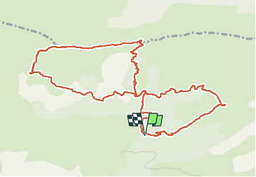

15.2 km | 28 km-effort

User


FREE GPS app for hiking
 SityTrail
IGN / Geographical institutes
SityTrail World
The world is yours!
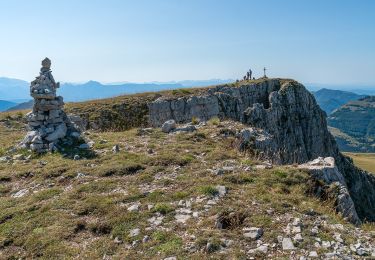
Trail Walking of 13.6 km to be discovered at Provence-Alpes-Côte d'Azur, Alpes-de-Haute-Provence, Authon. This trail is proposed by RobinMicheline.
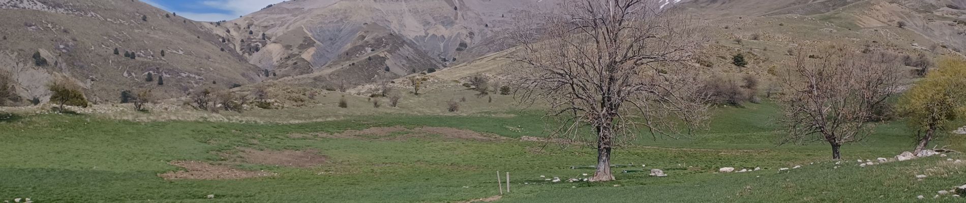
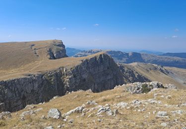
Descente difficile dans genets apres les cretes du clot des Marthes


Walking
Walking

Walking
Walking
Walking
On foot
Walking
Walking
Walking