


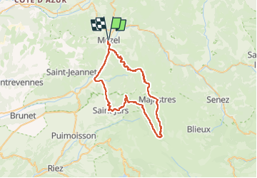

14.4 km | 26 km-effort

User


FREE GPS app for hiking
 SityTrail
IGN / Geographical institutes
SityTrail World
The world is yours!
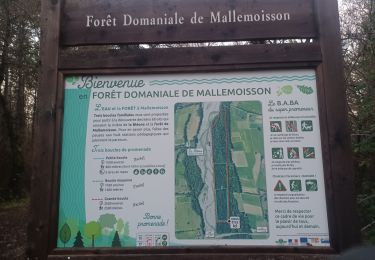
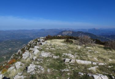
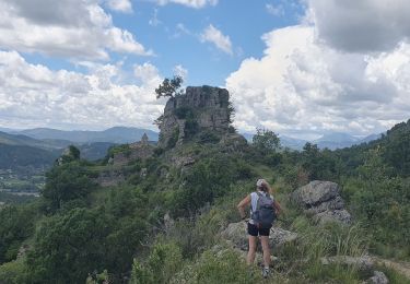
Trail Mountain bike of 56 km to be discovered at Provence-Alpes-Côte d'Azur, Alpes-de-Haute-Provence, Mézel. This trail is proposed by jean marc canu.
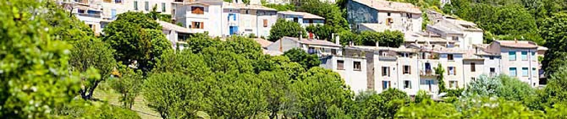
MEZEL. PALUS. LE POIL. MAJASTRES. COL DE ST JURS. ST JURS VILLAGE. ESTOUBLON. MEZEL.
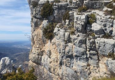
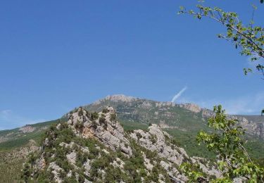
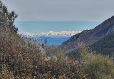
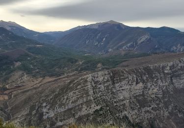
magnifique randonnee inoubliable dans le parc du Verdon


Walking
Walking
Walking
Walking
Walking
Walking
Walking

Road bike
Walking