


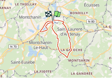

13.1 km | 17 km-effort


User


FREE GPS app for hiking
 SityTrail
IGN / Geographical institutes
SityTrail World
The world is yours!
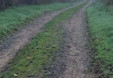
Trail Walking of 11.8 km to be discovered at Bourgogne-Franche-Comté, Saône-et-Loire, Écuisses. This trail is proposed by galain.
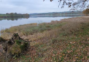
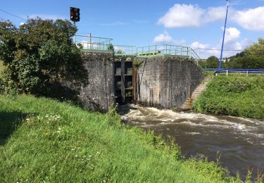
Balade sympa ou l'on peut soit au début pour nous échauffer soit à la fin pour finir en beauté faire le tour de l'étang de Montchanin
Walking

sport
Walking
Walking

On foot
Walking
On foot

Walking
Walking