


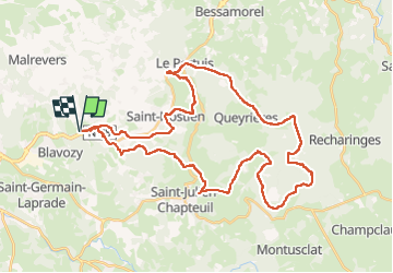

49 km | 70 km-effort


User


FREE GPS app for hiking
 SityTrail
IGN / Geographical institutes
SityTrail World
The world is yours!
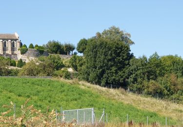
Trail Mountain bike of 44 km to be discovered at Auvergne-Rhône-Alpes, Haute-Loire, Saint-Étienne-Lardeyrol. This trail is proposed by Armandjeannot.
Belle randonnée, difficulté moyenne, assez pierreux, très jolies descentes sur seconde partie du parcours.
Retour assez facile avec un peu de route.


sport

Walking
Electric bike
Walking
Walking
Quad
Running

Mountain bike
Mountain bike