


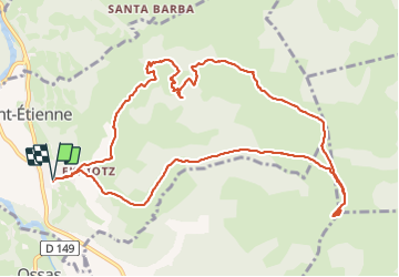

11.9 km | 17 km-effort


User


FREE GPS app for hiking
 SityTrail
IGN / Geographical institutes
SityTrail World
The world is yours!
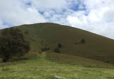
Trail Walking of 13.9 km to be discovered at New Aquitaine, Pyrénées-Atlantiques, Sauguis-Saint-Étienne. This trail is proposed by mitch1952.
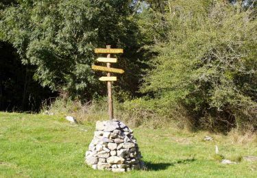
Trajet en boucle. Chemin en magenta sur IGN fermé à l’ouest de la quote 364.
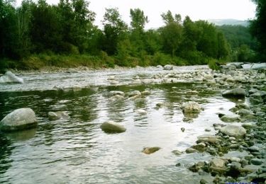
Possibilité d’existence d’un chemin traversant le cours d’eau à Arthegia quote 236.
Walking
Walking
On foot
Walking

Walking
Walking
Walking
Walking

Walking