


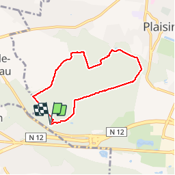


8.5 km | 10.5 km-effort

User


FREE GPS app for hiking
 SityTrail
IGN / Geographical institutes
SityTrail World
The world is yours!
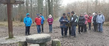
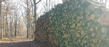
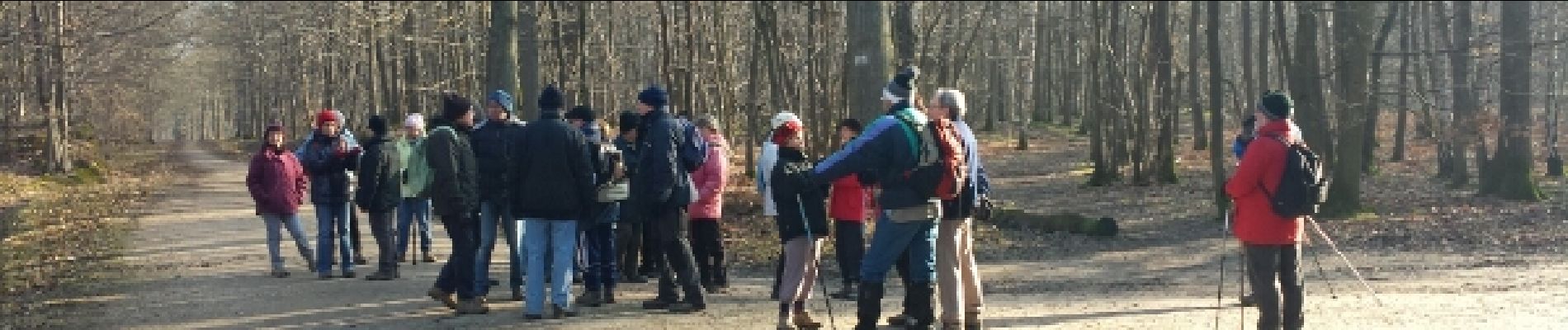
Trail Walking of 6.1 km to be discovered at Ile-de-France, Yvelines, Plaisir. This trail is proposed by microb.
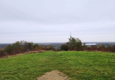
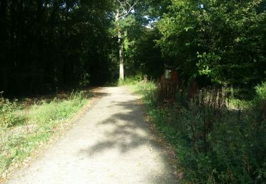
Forêt de Sainte-Apolline


Walking

Walking

Walking
Mountain bike
Walking
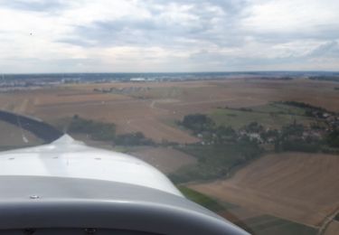
Plane

Walking
Walking
Walking