


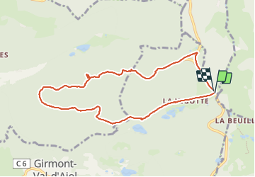

9.9 km | 13.1 km-effort


User


FREE GPS app for hiking
 SityTrail
IGN / Geographical institutes
SityTrail World
The world is yours!
Trail Nordic walking of 8.7 km to be discovered at Grand Est, Vosges, Girmont-Val-d'Ajol. This trail is proposed by Christian Pethe.
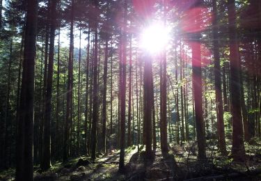
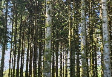
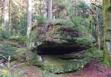
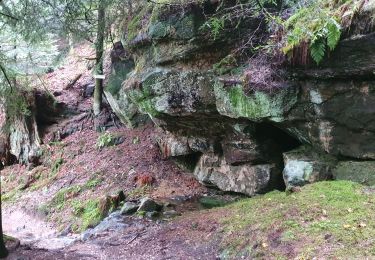
Portion de route super petit sentier dans la forêt
On foot

Mountain bike
Walking
Walking
Walking

Walking
On foot
Walking
Walking