


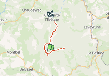

20 km | 28 km-effort


User


FREE GPS app for hiking
 SityTrail
IGN / Geographical institutes
SityTrail World
The world is yours!
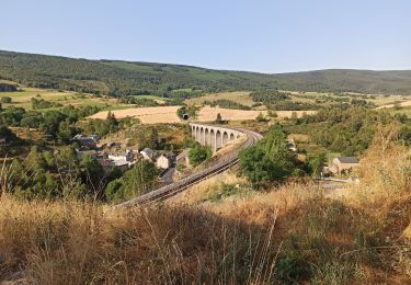
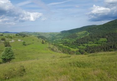
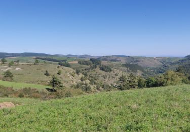
Trail Walking of 16.5 km to be discovered at Occitania, Lozère, Saint-Frézal-d'Albuges. This trail is proposed by AMOURETTE.
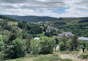
Walking
Walking
Walking

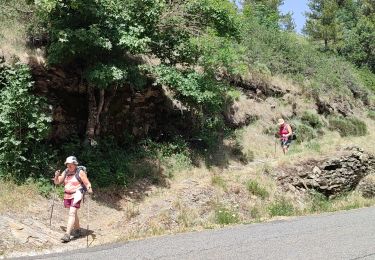
Walking
Mountain bike
Walking

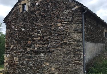
Walking

Walking
Horseback riding