


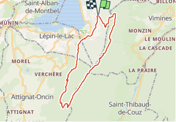

17.8 km | 32 km-effort

User


FREE GPS app for hiking
 SityTrail
IGN / Geographical institutes
SityTrail World
The world is yours!
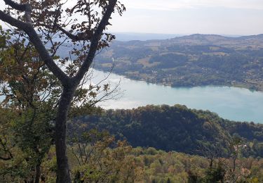
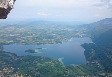
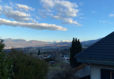
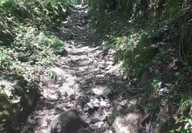
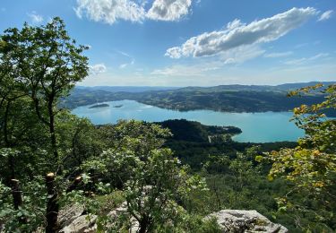
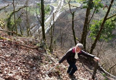
Trail Walking of 16.3 km to be discovered at Auvergne-Rhône-Alpes, Savoy, Aiguebelette-le-Lac. This trail is proposed by Zasa .
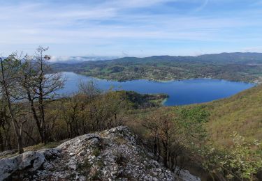
départ parking des Allemands, Aiguebellette le Lac, la Rousse, Sommet de l'Archelle, Mont Grêle, Col Saint Michel et retour parking. Randonnée plutôt sympa avec de jolis points de vues.


Walking
Trail
Walking
Walking
Walking
Walking
Walking
Walking
Walking