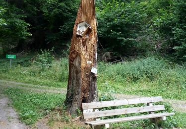
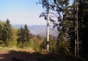
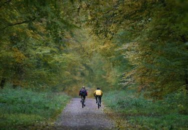
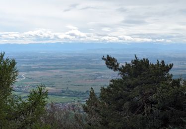
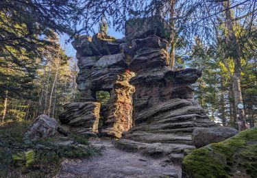
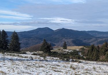
Trail Walking Urmatt - GR53 GR5 Urmatt à Schirmeck 31 850m +1 207m -1 142m - Photo

GR53 GR5 Urmatt à Schirmeck 31 850m +1 207m -1 142m

© OpenStreetMap contributors
Length
Length
32 km
Max alt
Max alt
1000 m
Uphill gradient
Uphill gradient
1207 m
Km-Effort
Km-Effort  
48 km
Min alt
Min alt
245 m
Downhill gradient
Downhill gradient
1142 m
Boucle
Boucle
No
Creation date :
2023-08-16 06:55:08.288
Updated on :
2023-08-16 07:20:44.654

(0 Reviews)

Walking
Walking
10h50
Difficulty : Very difficult

Scan this QR Code to open this trail in the SityTrail application

FREE GPS app for hiking

Logo SityTrail SityTrail

IGN / Geographical institutes

Download SityTrail from the App Store Download SityTrail from Google Play

Logo SityTrail SityTrail World

The world is yours!

Download SityTrail from the App Store Download SityTrail from Google Play Download SityTrail on Huawei AppGallery

About

Trail Walking of 32 km to be discovered at Grand Est, Bas-Rhin, Urmatt. This trail is proposed by DanielROLLET.

Description

Départ Wissembourg
Arrivée gare Belfort centre

Elevation profile

Positioning

Country:
France
Region :
Grand Est
Department/Province :
Bas-Rhin
Municipality :
Urmatt
Location:
Unknown
Start:(Dec)
Start:(UTM)
376170 ; 5376347 (32U) N.

Trails nearby

Trail Walking Urmatt - Cascade Soultzbach - Urmatt - Photo
Walking
Mich&Agnès

Walking

Very difficult
(1)
Urmatt, Grand Est, Bas-Rhin, France
14.9 km | 21 km-effort
4h 46min
Yes
Trail Horseback riding Oberhaslach - Neufeld Boucle Elmersforst - Photo
Horseback riding
GUIDE
holtzv

Horseback riding

Difficult
(1)
Oberhaslach, Grand Est, Bas-Rhin, France
31 km | 42 km-effort
5h 9min
Yes
Trail Walking Lutzelhouse - 2013-05-10 Marche Rocher de Mutzig par Nideck - Photo
Walking
GUIDE
holtzv

Walking

Medium
(1)
Lutzelhouse, Grand Est, Bas-Rhin, France
14.9 km | 24 km-effort
4h 10min
Yes
Trail Mountain bike Niederhaslach - Guirbaden - Grendelbruch - Photo
Mountain bike
tracegps

Mountain bike

Difficult
(1)
Niederhaslach, Grand Est, Bas-Rhin, France
26 km | 35 km-effort
2h 30min
No
Trail Mountain bike Oberhaslach - Rando des Feuilles Mortes - Photo
Mountain bike
tracegps

Mountain bike

Medium
(2)
Oberhaslach, Grand Est, Bas-Rhin, France
29 km | 41 km-effort
2h 0min
Yes
Trail Horseback riding Mollkirch - suuntoapp-HorsebackRiding-2024-04-28T06-24-49Z - Photo
Horseback riding
GUIDE
holtzv

Horseback riding

Difficult
Mollkirch, Grand Est, Bas-Rhin, France
34 km | 48 km-effort
6h 20min
Yes
Trail Walking Lutzelhouse - suuntoapp-Hiking-2024-01-28T11-41-12Z - Photo
Walking
GUIDE
holtzv

Walking

Medium
Lutzelhouse, Grand Est, Bas-Rhin, France
15.3 km | 25 km-effort
5h 45min
Yes
Trail Walking Grendelbruch - suuntoapp-Hiking-2024-01-21T12-04-41Z - Photo
Walking
GUIDE
holtzv

Walking

Easy
Grendelbruch, Grand Est, Bas-Rhin, France
12.1 km | 19.3 km-effort
4h 23min
Yes
Trail Horseback riding Niederhaslach - Toutes fugues  - Photo
Horseback riding
feelou

Horseback riding

Easy
(1)
Niederhaslach, Grand Est, Bas-Rhin, France
29 km | 39 km-effort
Unknown
Yes


Close
My subscriptions