


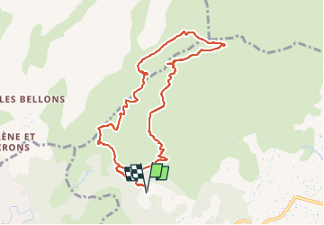

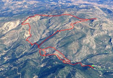
14.2 km | 24 km-effort

User


FREE GPS app for hiking
 SityTrail
IGN / Geographical institutes
SityTrail World
The world is yours!
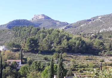
Trail Walking of 10.6 km to be discovered at Provence-Alpes-Côte d'Azur, Bouches-du-Rhône, Aubagne. This trail is proposed by boulinevelyne.
Situé à quelques minutes du Domaine de la Font de Mai, le "Puits de Raimu" se trouve à l'emplacement exact où Marcel Pagnol tourna" La fille du Puisatier" en 1940 avec Raimu, Fernandel et Josette Day.
Le puits a été construit bien plus tard, dans sa forme actuelle.
A voir, la baume du Plantier (ou de Manon) , la grotte du cerf où l'on devrait trouver les empreintes manuelles d'Orane Demazis et Marcel Pagnol.
Sur le retour nous ferons un petit détour à la ferme d'Angèle, en hommage à l'oeuvre cinématographique de Pagnol.
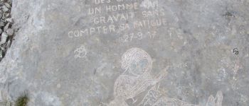
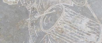
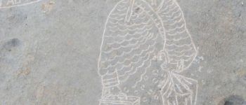
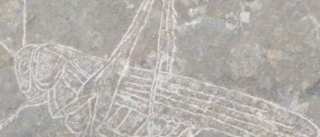
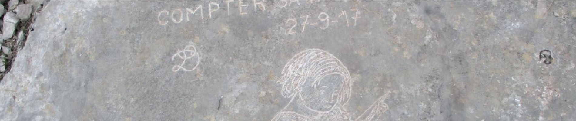
Les gravures sont l'oeuvre de Louis Douard ,un enfant d'Aubagne né en 1939. Il a bien sur l'autorisation de la mairie d'Aubagne pour orner ces grandes dalles calcaires.


Walking
Walking

On foot

Walking
Walking
Other activity
Walking

Walking
Walking