


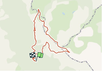

12.7 km | 21 km-effort

User


FREE GPS app for hiking
 SityTrail
IGN / Geographical institutes
SityTrail World
The world is yours!
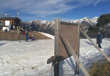
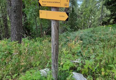
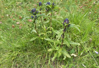
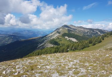
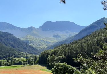
Trail Walking of 10.4 km to be discovered at Provence-Alpes-Côte d'Azur, Alpes-de-Haute-Provence, Seyne. This trail is proposed by RobinMicheline.
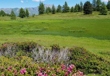
Passages delicats entre col de Bernardes et pic de Bernardes ainsi que descente col de Bernardes sinon magnifique


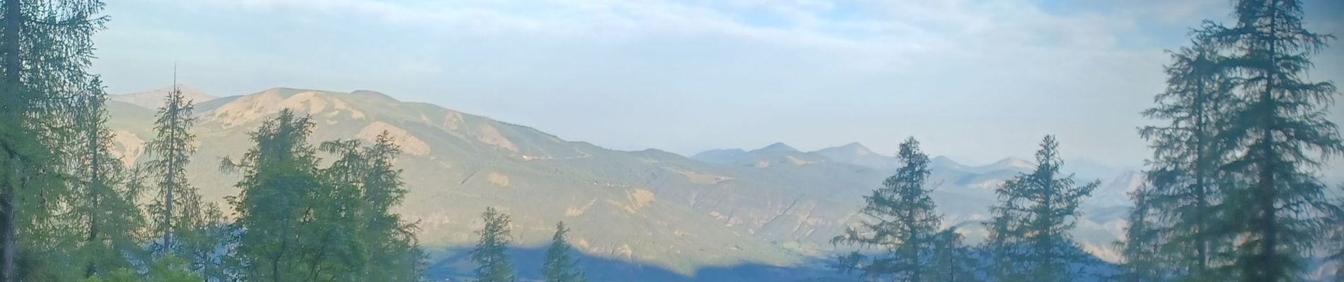
Walking
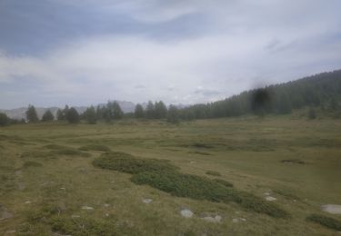
Walking
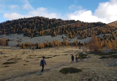
Walking
Walking
Walking
Walking
Walking
Walking
Walking