


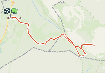

8.9 km | 12.7 km-effort


User


FREE GPS app for hiking
 SityTrail
IGN / Geographical institutes
SityTrail World
The world is yours!
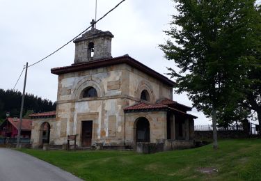
Trail Walking of 12.7 km to be discovered at Autonomous Community of the Basque Country, Biscay, Abadiño. This trail is proposed by pacha56.
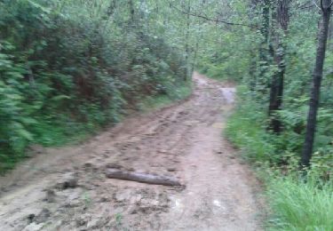
Superbe randonnée au départ du monastère d'Urkiola, en passant dans une belle forêt de résineux, la fontaine Pol- pol, avec des paysages somptueux et une montée très raide à la fin. Sujets au vertige s'abstenir
On foot

On foot
On foot
Walking
Walking

Walking
Walking
Walking
Walking