


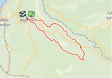


17 km | 31 km-effort


User


FREE GPS app for hiking
 SityTrail
IGN / Geographical institutes
SityTrail World
The world is yours!
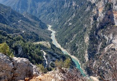
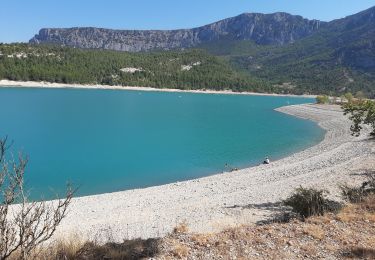
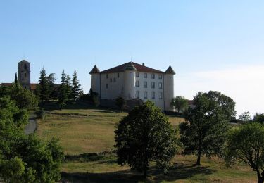
Trail Walking of 18 km to be discovered at Provence-Alpes-Côte d'Azur, Var, Aiguines. This trail is proposed by jouans.
Sortie REV Michel Touzan du 14/05/2023 à ne pas renouveler par temps humide


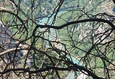
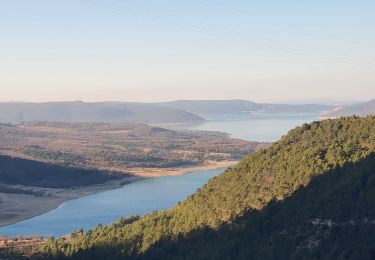
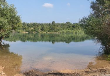
28 photos in total. Please click on a photo to see them all in the gallery.
Walking
Walking

Walking
Walking
Walking
Walking
Walking

Walking
On foot