


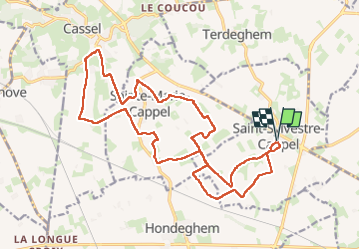

15 km | 16.5 km-effort


User


FREE GPS app for hiking
 SityTrail
IGN / Geographical institutes
SityTrail World
The world is yours!
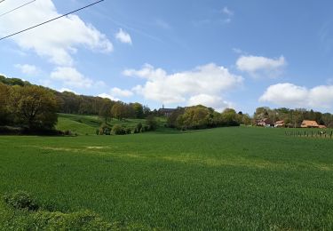
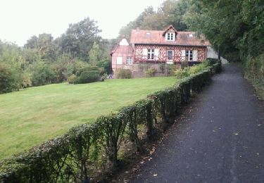
Trail Walking of 20 km to be discovered at Hauts-de-France, Nord, Saint-Sylvestre-Cappel. This trail is proposed by leon65.


Walking
Walking
Walking
Walking
Walking

Walking
Running

Walking

Walking