


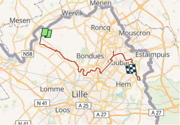

10.6 km | 11.1 km-effort

User


FREE GPS app for hiking
 SityTrail
IGN / Geographical institutes
SityTrail World
The world is yours!
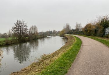
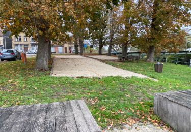
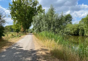
Trail Walking of 38 km to be discovered at Hauts-de-France, Nord, Deûlémont. This trail is proposed by jeff2.
Longue marche, très longue marche, ce soir dans une base de loisir.


Walking
Walking
Walking
Walking
Walking

Walking

Walking

Mountain bike

Walking