Trail Walking Saint-Maurice-de-Lignon - 43-st-maurice-lignon-passerelle-17km-515m - Photo

43-st-maurice-lignon-passerelle-17km-515m

 SyMA
SyMA

User

© OpenStreetMap contributors
Length
Length
16.8 km
Max alt
Max alt
811 m
Uphill gradient
Uphill gradient
515 m
Km-Effort
Km-Effort  
24 km
Min alt
Min alt
622 m
Downhill gradient
Downhill gradient
514 m
Boucle
Boucle
Yes
Creation date :
2023-04-27 08:00:58.714
Updated on :
2023-04-29 07:15:19.251

(0 Reviews)

Walking
Walking
5h05
Difficulty : Medium

Scan this QR Code to open this trail in the SityTrail application

FREE GPS app for hiking

Logo SityTrail SityTrail

IGN / Geographical institutes

Download SityTrail from the App Store Download SityTrail from Google Play

Logo SityTrail SityTrail World

The world is yours!

Download SityTrail from the App Store Download SityTrail from Google Play Download SityTrail on Huawei AppGallery

About

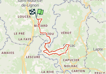
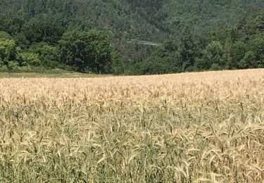
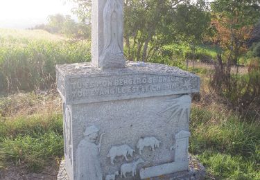
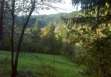
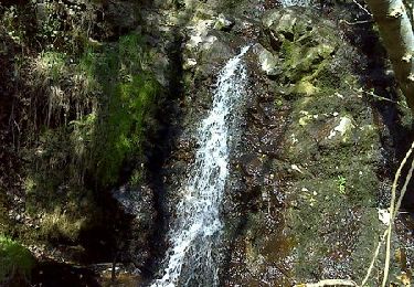
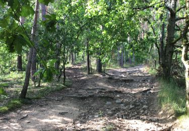
Trail Walking of 16.8 km to be discovered at Auvergne-Rhône-Alpes, Haute-Loire, Saint-Maurice-de-Lignon. This trail is proposed by SyMA.

Description

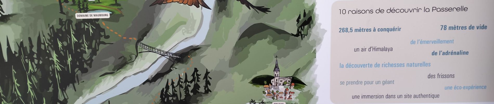
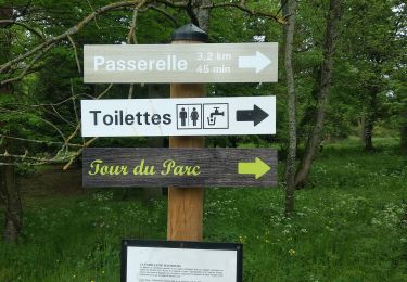
Rando avec vues et passages sur passerelle
pique-nique à Grazac

Elevation profile

Photos

Positioning

Country:
France
Region :
Auvergne-Rhône-Alpes
Department/Province :
Haute-Loire
Municipality :
Saint-Maurice-de-Lignon
Location:
Unknown
Start:(UTM)
589924 ; 5006934 (31T) N.

Trails nearby

Trail Walking Saint-Maurice-de-Lignon - saint Maurice de Lignon Grazac - Photo
Walking
alinetpierre

Walking

Medium
Saint-Maurice-de-Lignon, Auvergne-Rhône-Alpes, Haute-Loire, France
14.2 km | 21 km-effort
3h 9min
Yes
Trail Walking Saint-Maurice-de-Lignon - boucle passerelle du lignon-11 km - Photo
Walking
famillerudent

Walking

Difficult
Saint-Maurice-de-Lignon, Auvergne-Rhône-Alpes, Haute-Loire, France
11.2 km | 17.3 km-effort
3h 46min
Yes
Trail Walking Grazac - Passerelles du Lignon  - Photo
Walking
Galoche

Walking

Medium
Grazac, Auvergne-Rhône-Alpes, Haute-Loire, France
6 km | 9.2 km-effort
1h 36min
Yes
Trail Walking Grazac - Gorges du Lignon  - Photo
Walking
mallovon

Walking

Easy
Grazac, Auvergne-Rhône-Alpes, Haute-Loire, France
10.6 km | 14.3 km-effort
4h 10min
Yes
Trail Walking Grazac - De Charrerogne en Dunière - Vaubarlet - Photo
Walking
tracegps

Walking

Difficult
Grazac, Auvergne-Rhône-Alpes, Haute-Loire, France
7.1 km | 10.3 km-effort
2h 30min
Yes
Trail Walking Les Villettes - Les balcons du Lignon - Les Villettes - Photo
Walking
tracegps

Walking

Difficult
Les Villettes, Auvergne-Rhône-Alpes, Haute-Loire, France
8 km | 12.3 km-effort
2h 30min
Yes
Trail Walking Grazac - grazac - Photo
Walking
belleney

Walking

Medium
(1)
Grazac, Auvergne-Rhône-Alpes, Haute-Loire, France
6.4 km | 9.7 km-effort
2h 37min
Yes
Trail Walking Beauzac - 2019 09 15 Vaures - Photo
Walking
psesjs

Walking

Easy
Beauzac, Auvergne-Rhône-Alpes, Haute-Loire, France
7.1 km | 10.7 km-effort
2h 19min
Yes
Trail Walking Beauzac - Chapelle du Fraisse - Photo
Walking
bloomdido

Walking

Medium
Beauzac, Auvergne-Rhône-Alpes, Haute-Loire, France
21 km | 0 m-effort
1h 40min
No


Close
My subscriptions