


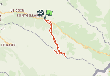

13.1 km | 23 km-effort

User


FREE GPS app for hiking
 SityTrail
IGN / Geographical institutes
SityTrail World
The world is yours!
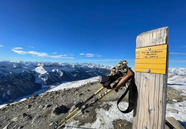
Trail Touring skiing of 10.8 km to be discovered at Provence-Alpes-Côte d'Azur, Hautes-Alpes, Molines-en-Queyras. This trail is proposed by tchoua.
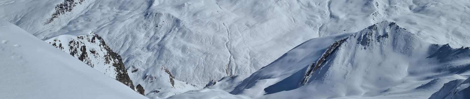
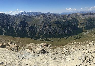
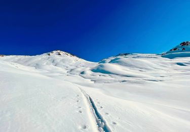
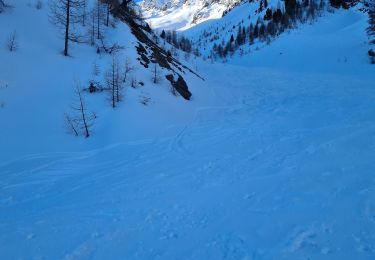
Randonnée assez facile somme toute,c est pourquoi au col j avais décidé de continuer sur château renard mais l enneigement faible voire nul sur l arête ne m a pas permis de continuer il aurait fallut venir 1 mois plus tôt d où ma trace aller retour , au col où j ai repeauté pour finir au pic traversier. C est un itinéraire très très parcouru, les gens qui ont un niveau faible à ski n auront aucune difficulté pentes douces , espaces dans la forêt, même avec un risque d avalanche marqué à condition de ne pas aller titiller les pentes à gauche et à droite du vallon et la pente ultime entre le col et le pic on peut skier en sécurité. On peut descendre sur st Véran.


Walking
Walking

Walking

Walking

Other activity
Walking
Snowshoes
Snowshoes
Touring skiing