


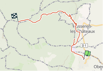

11.7 km | 17.7 km-effort


User GUIDE


FREE GPS app for hiking
 SityTrail
IGN / Geographical institutes
SityTrail World
The world is yours!
Trail Walking of 6.8 km to be discovered at Grand Est, Haut-Rhin, Vœgtlinshoffen. This trail is proposed by holtzv.
Week-end de marche avec Sarah, Pierre et Jérémie au départ de Voegtlinshoffen
- 2023-03-17 Vendredi soir : Marche depuis Voegtlinshoffen vers l’abri de Stauffen pour y passer la nuit
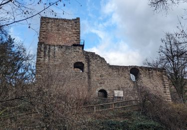
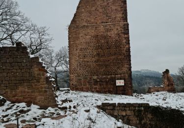
- 2023-03-18 Samedi : Marche sur la journée vers le refuge AN Rothenbrunnen pour y passer la nuit en passant par le château de Schrankenfels, le col de Wolfsgrube, la borne jaune, le col du Firstplan, le village de Wasserbourg, le Steinberg et le Petit Ballon
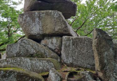
- 2023-03-19 Dimanche : Marche sur la journée pour revenir à Voegtlinshoffen en passant par le Petit Ballon, le refuge de la Schellimatt, le col de Boenlesgrab, les villages de Wintzfelden et Soultzmatt, Notre-Dame du Hubel, Notre-Dame de Schauenberg et la table des Druides
Walking
Walking
Walking

Walking

Walking
Walking

On foot
Walking
Walking