


7.6 km | 8.5 km-effort

User


FREE GPS app for hiking
 SityTrail
IGN / Geographical institutes
SityTrail World
The world is yours!
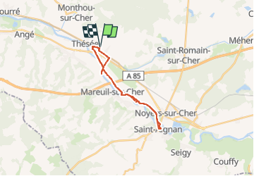
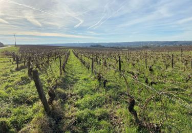
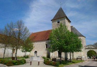
Trail Mountain bike of 21 km to be discovered at Centre-Loire Valley, Loir-et-Cher, Thésée. This trail is proposed by Alain-luypaert.
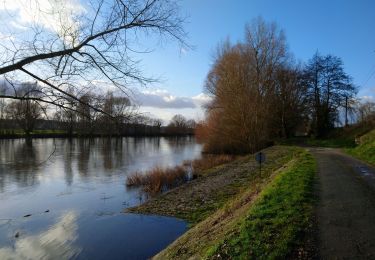
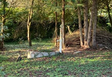
Glissant par temps humide. Chemin de hallage parfois coupé d’où allés et retours.


Walking
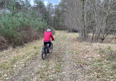
Mountain bike
Walking
Walking
Walking
Walking
Walking
Walking
Walking