


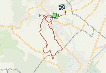

4.7 km | 6.5 km-effort


FREE GPS app for hiking
 SityTrail
IGN / Geographical institutes
SityTrail World
The world is yours!
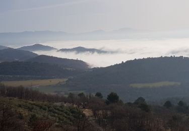
Trail Walking of 7.5 km to be discovered at Provence-Alpes-Côte d'Azur, Alpes-de-Haute-Provence, Pierrevert. This trail is proposed by 000322.fc130e8b5039493ea7e064eaac989fcf.1514.

Walking

Walking
Walking

Walking
Walking
Walking
Walking
Walking

Walking