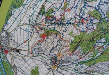
15.7 km | 17.8 km-effort
vog
Marcel Momi
User
Length
16.2 km
Max alt
205 m
Uphill gradient
141 m
Km-Effort
18.1 km
Min alt
185 m
Downhill gradient
141 m
Boucle
Yes
Creation date :
2023-01-21 12:42:37.57
Updated on :
2023-01-21 16:32:37.457
3h47
Difficulty : Difficult
FREE GPS app for hiking
About
Trail Walking of 16.2 km to be discovered at Grand Est, Haut-Rhin, Vogelgrun. This trail is proposed by Marcel Momi.
Description
nnn
Positioning
Country:
France
Region :
Grand Est
Department/Province :
Haut-Rhin
Municipality :
Vogelgrun
Location:
Unknown
Start:(Dec)
Start:(UTM)
393680 ; 5318766 (32U) N.
Comments
Trails nearby
vogelgrun
Walking
Difficult
Vogelgrun,
Grand Est,
Haut-Rhin,
France
15.5 km | 17.7 km-effort
4h 8min
Yes
ELSASS BIKE 2020 - ETAPE 6
Bicycle tourism
Easy
Biesheim,
Grand Est,
Haut-Rhin,
France
36 km | 38 km-effort
2h 38min
No
ADN - Cesenatico Tronçon 6
Bicycle tourism
Very difficult
Neuf-Brisach,
Grand Est,
Haut-Rhin,
France
96 km | 109 km-effort
Unknown
No
vogelgrun
Walking
Very difficult
Vogelgrun,
Grand Est,
Haut-Rhin,
France
17.1 km | 19.4 km-effort
4h 59min
Yes
vogelgrun
Walking
Difficult
Vogelgrun,
Grand Est,
Haut-Rhin,
France
12.7 km | 14.5 km-effort
3h 9min
Yes
vogelgrun
Walking
Difficult
Vogelgrun,
Grand Est,
Haut-Rhin,
France
10.7 km | 12.3 km-effort
3h 15min
Yes
Tour d'Alsace Vogelgrun
Bicycle tourism
Medium
Vogelgrun,
Grand Est,
Haut-Rhin,
France
23 km | 25 km-effort
1h 39min
No