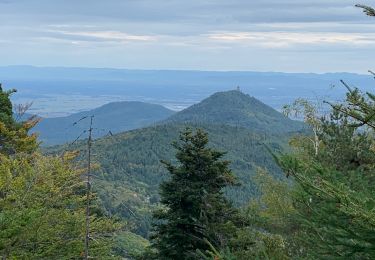
16.3 km | 26 km-effort
tour du val d'argent
grattounette
User
Length
63 km
Max alt
1216 m
Uphill gradient
2759 m
Km-Effort
100 km
Min alt
268 m
Downhill gradient
2761 m
Boucle
Yes
Creation date :
2014-12-10 00:00:00.0
Updated on :
2014-12-10 00:00:00.0
18h02
Difficulty : Very difficult
FREE GPS app for hiking
About
Trail Walking of 63 km to be discovered at Grand Est, Haut-Rhin, Lièpvre. This trail is proposed by grattounette.
Description
départ de liepvre nuit en gîte au col des bagenelles et retour sur liepvre randonnée sur 2 jours pour marcheurs avertis
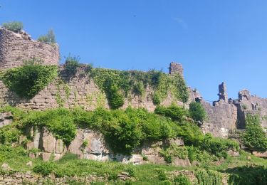
Positioning
Country:
France
Region :
Grand Est
Department/Province :
Haut-Rhin
Municipality :
Lièpvre
Location:
Unknown
Start:(Dec)
Start:(UTM)
372288 ; 5348264 (32U) N.
Comments
Trails nearby
2020-05-21 Marche La Vancelle Boucle
Walking
Very easy
La Vancelle,
Grand Est,
Bas-Rhin,
France
6h 41min
Yes
2015-01-02 Marche Rocher du Coucou Chateau Frankenbourg
Walking
Easy
(1)
La Vancelle,
Grand Est,
Bas-Rhin,
France
10.9 km | 18.1 km-effort
3h 47min
Yes
2024-07-23_20h26m34_G 12
Walking
Easy
(1)
Breitenau,
Grand Est,
Bas-Rhin,
France
15.4 km | 22 km-effort
4h 59min
Yes
1 ère sortie
Mountain bike
Easy
Bergheim,
Grand Est,
Haut-Rhin,
France
12.6 km | 19.1 km-effort
1h 53min
Yes
20230309_BREITENAU_rando_Breitenau_Le Rocher du Coucou - Le Château du Franke...
Walking
Medium
Breitenau,
Grand Est,
Bas-Rhin,
France
14.5 km | 24 km-effort
5h 24min
Yes
Col de Fouchy
Walking
Medium
Rombach-le-Franc,
Grand Est,
Haut-Rhin,
France
11.8 km | 17.6 km-effort
3h 23min
Yes
Liépvre - Roche des Fées, Roche de Chalmont, Rocher du Coucou, château du Fra...
Walking
Difficult
Lièpvre,
Grand Est,
Haut-Rhin,
France
19.4 km | 31 km-effort
5h 53min
Yes
Thannenkirch / rocher pointu / rocher des géants
Walking
Difficult
(1)
Thannenkirch,
Grand Est,
Haut-Rhin,
France
7.1 km | 13.4 km-effort
2h 8min
Yes
TAENCHEL CCA 200827
Walking
Very easy
Thannenkirch,
Grand Est,
Haut-Rhin,
France
12.7 km | 18.7 km-effort
5h 2min
Yes