


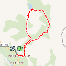

5.2 km | 12.8 km-effort

User GUIDE


FREE GPS app for hiking
 SityTrail
IGN / Geographical institutes
SityTrail World
The world is yours!
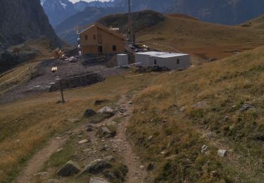
Trail Walking of 10.7 km to be discovered at Provence-Alpes-Côte d'Azur, Hautes-Alpes, Le Monêtier-les-Bains. This trail is proposed by amiral13.
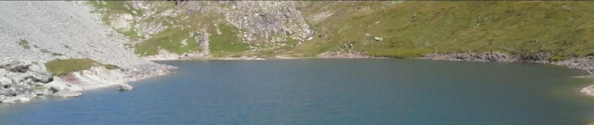
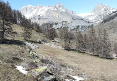
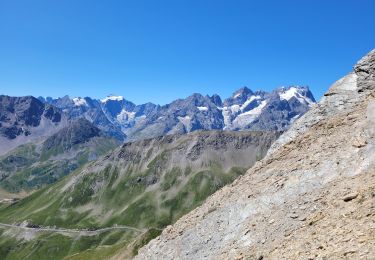
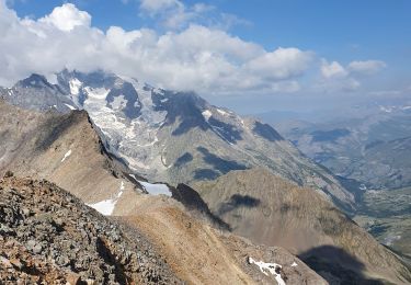
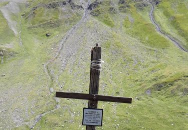
très jolie randonnée qui traverse différents alpages avec de jolis points de vue sur la montagne des agneaux, les écrins et la meije. pour les personnes ayant peur du vide il est plus raisonnable de faire l'allez-retour par le torrent du rif. par le torrent du plan chevalier on est obligé de franchir un petit passage rocheux équipé d'un câble qui sans être difficile, peut être impressionnant pour certains.
effectuée avec ma fille de 6 ans.


Walking
Touring skiing
Touring skiing
Walking
Walking
Walking

Walking
Walking

Via ferrata