


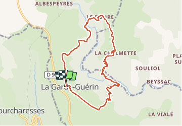

27 km | 39 km-effort


User


FREE GPS app for hiking
 SityTrail
IGN / Geographical institutes
SityTrail World
The world is yours!
Trail Walking of 9.7 km to be discovered at Occitania, Lozère, Prévenchères. This trail is proposed by bececoste.
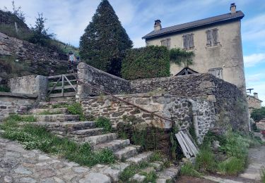
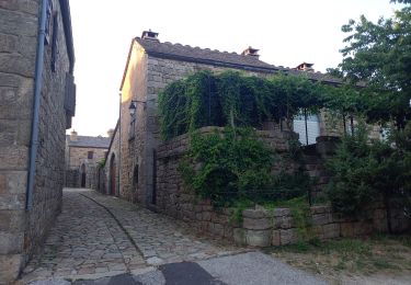
Se garer sur le parking à l'entrée du village de la Garde-Guérin. De l'autre côté de la route, au panneau de circuits, prendre le GR en face.
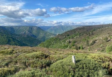
On arrive au parking des gorges. Prendre à droite et immédiatement à gauche, emprunter la voie verte.
1 Km plus loin environ, un sentier descend vers les gorges. De suite après, le sentier se scinde en deux. Ne pas prendre celui de droite (emprunté par les adeptes du canyoning) mais continuer sur celui de gauche balisé en jaune.
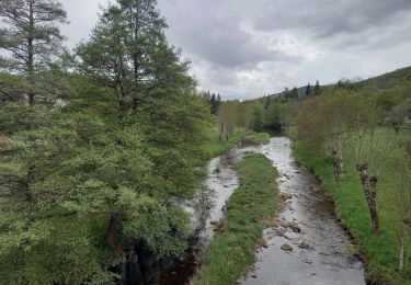
Ce sentier débouche sur le Chassezac que l'on traverse en passant de rocher en rocher en suivant les marques jaunes.
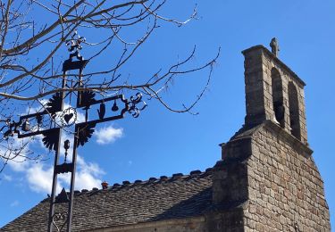
Suivre le chemin de remontée jusqu'à rejoindre le GR que l'on prend sur la droite. Celui-ci traverse le hameau du Roure pour arriver au hameau de la Chalmette. Au niveau du poteau de directions de chemins, se trouve un robinet d'eau potable.
Contourner le hameau par la droite en suivant le balisage jaune. Le sentier descend jusqu'au bord du Chassezac.
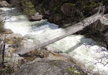
Emprunter la passerelle et poursuivre jusqu'à un premier croisement. Prendre alors le sentier de droite qui remonte sur le plateau.
Une fois sur le plateau, au niveau d'une barrière à moutons, prendre la piste à gauche qui ramène à la Garde-Guérin.
Walking
Walking
Walking

Walking
Walking
Walking
Walking
Walking

Walking