


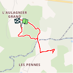

17.2 km | 23 km-effort


User


FREE GPS app for hiking
 SityTrail
IGN / Geographical institutes
SityTrail World
The world is yours!
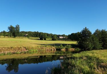
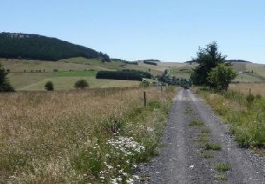
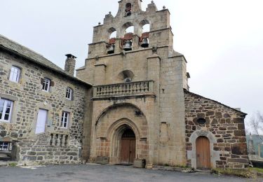
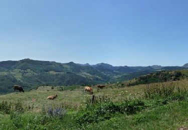
Trail Walking of 3.6 km to be discovered at Auvergne-Rhône-Alpes, Haute-Loire, Mazet-Saint-Voy. This trail is proposed by mallovon.
A/R au dolmen du Moulin de Boyer depuis Aulagnier.

Walking
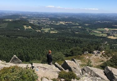
Walking
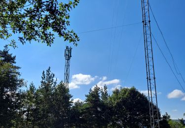
Walking
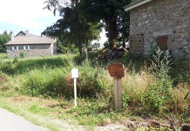
Walking
Walking
Equestrian
Equestrian
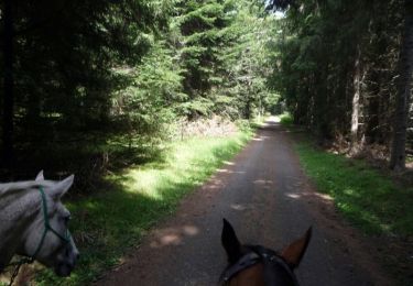
Equestrian
Equestrian