


28 km | 37 km-effort

User


FREE GPS app for hiking
 SityTrail
IGN / Geographical institutes
SityTrail World
The world is yours!
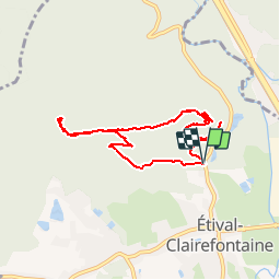
Trail Walking of 7.9 km to be discovered at Grand Est, Vosges, Étival-Clairefontaine. This trail is proposed by jeanclaude12.
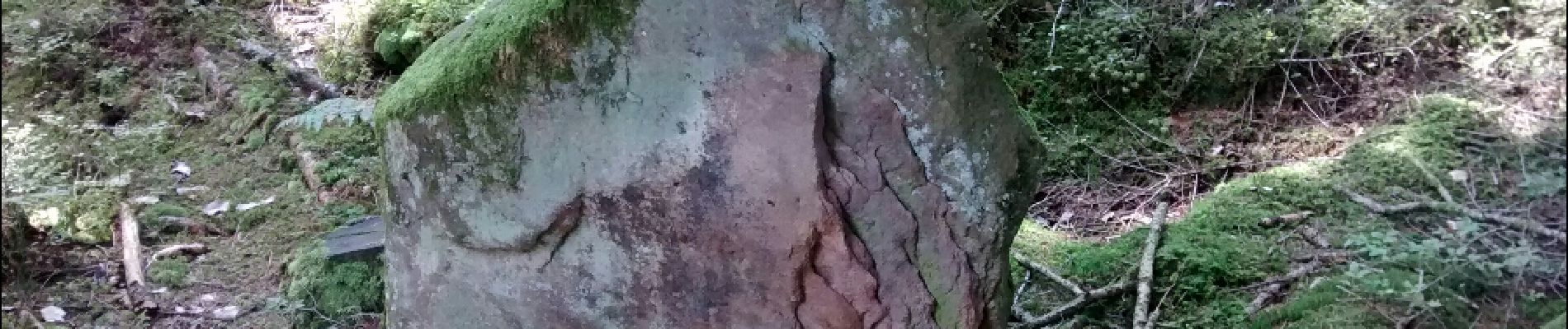
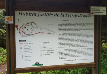
Face au Camp Celtique de Bure, l'enceinte de Rémy est une forteresse à sanctuaire ouù les prêtres du culte celtique sonnaient de la trompe pour annoncer le lever du soleil et de la lune ainsi que l'apogée des solstices. Le parcours vous emmène à la Pierre d'appel, au panorama grandiose, puis au Chaudron des Fées, à la Pierre Cornue et ses Douze Bassins, et enfin, à la Roche du Bouc.


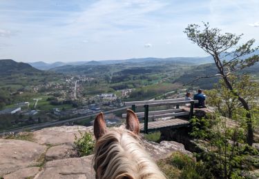
Horseback riding
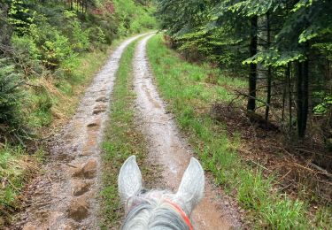
Horseback riding

Mountain bike
Mountain bike
Mountain bike
Mountain bike
Mountain bike
Mountain bike
Cycle