


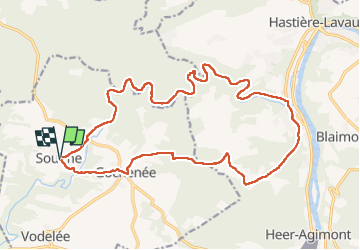


25 km | 31 km-effort


User


FREE GPS app for hiking
 SityTrail
IGN / Geographical institutes
SityTrail World
The world is yours!
Trail Walking of 19.7 km to be discovered at Wallonia, Namur, Doische. This trail is proposed by dauzata.
Départ: Eglise de Soulme
Attention: Passage avec des cordes au km6.4 et km7.8. Peut être glissant par temps de pluie.


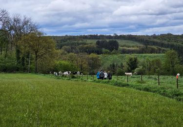
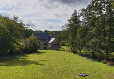
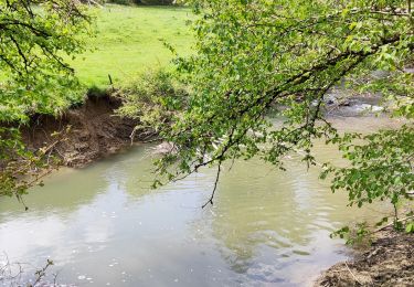
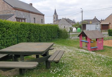
38 photos in total. Please click on a photo to see them all in the gallery.

Walking

Walking
Walking
Walking
Walking
Walking
Walking
Walking
Walking